


Get to know Dingbian County
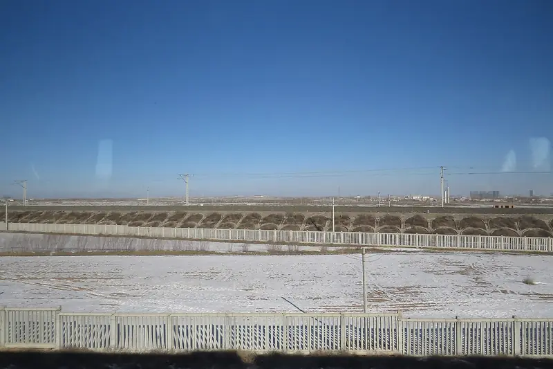
Photo adjustments
Full frame retained; EXIF orientation normalized, proportionally resized to at most 800 pixels and converted to WebP. No generated pixels or subject changes. Cards may crop the display.
- Administrative area
- County · 县
- Part of
- Yulin
- Chinese name
- 定边县
- Local areas
- County guide
Area & population
- Area in the source
- 6,920.00 km²
Source: cited geographic source, as of the dates shown.
Salt-making landscapes
Gouchi Salt Lake (苟池盐湖) lies at Wangquan Village (王圈村) in Yanchangbao Town (盐场堡镇). South of the lake, a salt-sculpture square contains a large statue of Guan Zhong (管仲) represented as a salt deity. A lake-salt exhibition hall and salt-product display hall stand west of the square.
Walls and agricultural land
The county’s Ming defensive system stretches for more than 250 kilometres, with towers and forts including Zhuanjing Fort (砖井堡) and Sanshan Fort (三山堡). In the Baiyu Mountain (白于山) countryside, crop flowers include pink buckwheat and white potato blossoms. Cave dwellings, wind turbines, oil-production structures and old beacon towers also mark this agricultural landscape.
Sources for this guide
“走三边,看花海,游千年盐湖,探塞上古堡”全国摄影大展征稿启事+行摄指南--图片频道--人民网 · People’s Daily Online / Chinese Photography Magazine
定边县人民政府_ 定边县情概况 · Dingbian County Government
Original English written from the listed sources and checked sentence by sentence against quoted extracts by a separate reviewer. Updated 2026-09-27.
Explore Dingbian County
Core places to explore, with English and Chinese names.
Dingbian County 定边县
Plan your visit
Getting there
Dingbian County is about 190 km in a straight line from central Yulin. Search for 定边县 in a map app to find stations and your accommodation.
Where to stay →More in Yulin
Sources & geographic information
Administrative names and parent areas: Official geographic directory · Reference date 2026-09-06.
Map data © OpenStreetMap contributors. Pins mark approximate centres, not entrances or boundaries.