


Get to know Hengshan District
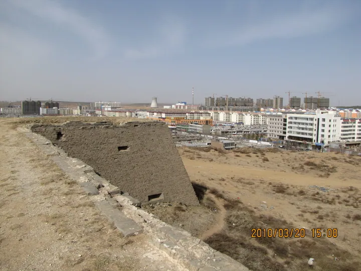
Photo adjustments
Full frame retained; proportionally resized and converted to WebP. No retouching or changes to the photographed subject. Card displays may crop the view.
- Administrative area
- District · 市辖区
- Part of
- Yulin
- Chinese name
- 横山区
- Local areas
- District guide
Area & population
- Area in the source
- 4,333.00 km²
- Population · 2019
- 383,558
Source: cited geographic source, as of the dates shown.
Boluo’s walls and streets
Boluo Fortress (波罗古堡) stands beside the Wuding River, northeast of the former county seat. The fort follows the hillside, rising towards the southeast and falling to the northwest. Its stone walls, four gates, narrow streets, towers and ceremonial gateways give a concrete sense of its frontier-town form.
Borderland traditions
The district also contains Ming Great Wall remains (明长城) and Wuding River wetlands (无定河湿地). Waist drumming, folk songs, papercutting and storytelling remain part of Hengshan’s cultural traditions. Local foods include Hengshan mutton (横山羊肉) and Daming mung beans (大明绿豆).
Sources for this guide
横山区人民政府_ 区情简介 · Hengshan District Government
横山区波罗古堡(国家AAA级旅游景区)_榆林市人民政府 · Yulin City Government
Original English written from the listed sources and checked sentence by sentence against quoted extracts by a separate reviewer. Updated 2026-09-26.
Explore Hengshan District
Core places to explore, with English and Chinese names.
Hengshan District 横山区
Plan your visit
Getting there
Hengshan District is about 55 km in a straight line from central Yulin. Search for 横山区 in a map app to find stations and your accommodation.
Where to stay →More in Yulin
Sources & geographic information
Administrative names and parent areas: Official geographic directory · Reference date 2026-09-06.
Map data © OpenStreetMap contributors. Pins mark approximate centres, not entrances or boundaries.