


Get to know Jiuzhaigou County
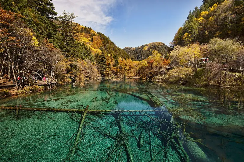
Photo adjustments
Full frame retained; EXIF orientation normalized, proportionally resized to at most 800 pixels and converted to WebP. No generated pixels or subject changes. Cards may crop the display.
- Administrative area
- County · 县
- Part of
- Ngawa Tibetan and Qiang Autonomous Prefecture
- Chinese name
- 九寨沟县
- Local areas
- County guide
Area & population
- Area in the source
- 5,286.00 km²
- Population · 2020
- 66,055
- Administrative seat
- Nanping (Nainpin)
Source: cited geographic source, as of the dates shown.
The valley and its villages
Jiuzhaigou Valley (九寨沟) lies within Zhangzha Town (漳扎镇), in the southern Min Mountains (岷山). Its name refers to nine Tibetan villages whose residents lived in the valley for generations. The landscape includes high mountain lakes, waterfalls, forests and snowy peaks. Autumn adds yellow and red foliage to the green, with the colours reflected in the lakes; in winter, waterfalls freeze into ice formations.
Nanping songs
Nanping Quzi (南坪曲子) developed as migrants from Shaanxi (陕西) and Gansu (甘肃) arrived during the Qing Yongzheng reign (雍正) and their traditions met local cultures. Singers use the local Chinese dialect, usually accompanying themselves on the Nanping pipa (南坪琵琶). Porcelain plates and small bells can supply percussion. The repertoire includes concise lyrical songs and narrative songs.
Sources for this guide
九寨沟景区官方网站 - 关于九寨 · Jiuzhaigou Scenic Area Administration
南坪曲子_九寨沟县人民政府 · Jiuzhaigou County Government
Original English written from the listed sources and checked sentence by sentence against quoted extracts by a separate reviewer. Updated 2026-09-26.
Explore Jiuzhaigou County
Core places to explore, with English and Chinese names.
Places to explore around Jiuzhaigou County
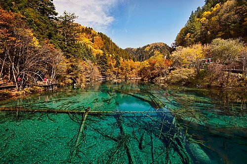 Jiuzhaigou Natural Reserve ·
 Plan your visit
Getting there
Jiuzhaigou County is about 240 km in a straight line from central Ngawa Tibetan and Qiang Autonomous Prefecture. Search for 九寨沟县 in a map app to find stations and your accommodation.
Where to stay →Build your route
Start with Jiuzhaigou Valley. The linked place guides have entrance and visit details.
Continue with Ngawa Tibetan and Qiang Autonomous Prefecture →More in Ngawa Tibetan and Qiang Autonomous Prefecture
Sources & geographic information
Administrative names and parent areas: Official geographic directory · Reference date 2026-09-06.
Photo: Jiuzhaigou Valley · Chensiyuan · CC BY-SA 4.0. Wikimedia thumbnail; fitted to the ranking-card frame.

Map data © OpenStreetMap contributors. Pins mark approximate centres, not entrances or boundaries.