


Get to know Xiaojin County
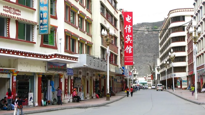
Photo adjustments
Full frame retained; proportionally resized and converted to WebP. No retouching or changes to the photographed subject. Card displays may crop the view.
- Administrative area
- County · 县
- Part of
- Ngawa Tibetan and Qiang Autonomous Prefecture
- Chinese name
- 小金县
- Local areas
- County guide
Area & population
- Area in the source
- 5,524.00 km²
- Population · 2020
- 64,813
- Administrative seat
- Meixing (Mêxin)
Source: cited geographic source, as of the dates shown.
Four connected summits
The peaks rise successively from Daguniang (大姑娘山), at 5,355 metres, through Erguniang (二姑娘山) and Sanguniang (三姑娘山) to the 6,250-metre main summit. Steep mountain faces retain snow and ice, while dense woodland, grassy ground and clear streams occupy the mountain foot.
Valleys and forests
The scenic area combines the mountain with Shuangqiao Valley (双桥沟), Changping Valley (长坪沟) and Haizi Valley (海子沟). The reserve adjoins Wolong National Nature Reserve (卧龙国家级自然保护区). Its protected habitats include dark coniferous forests, and its conservation subjects include giant pandas, snow leopards, takins and white-lipped deer. The Tibetan population around the reserve belongs to the Jiarong Tibetan (嘉绒藏族) cultural branch.
Sources for this guide
四姑娘山景区_小金县人民政府 · Xiaojin County Government
生态旅游 · Mount Siguniang Scenic Area Administration
Original English written from the listed sources and checked sentence by sentence against quoted extracts by a separate reviewer. Updated 2026-09-27.
Explore Xiaojin County
Core places to explore, with English and Chinese names.
Places to explore around Xiaojin County
 Snow-covered peaks of Mount Siguniang. Photograph date recorded by the source: 29 March 2019 (according to Exif data).
Plan your visit
Getting there
Xiaojin County is about 100 km in a straight line from central Ngawa Tibetan and Qiang Autonomous Prefecture. Search for 小金县 in a map app to find stations and your accommodation.
Where to stay →Build your route
Start with Mount Siguniang. The linked place guides have entrance and visit details.
Continue with Ngawa Tibetan and Qiang Autonomous Prefecture →More in Ngawa Tibetan and Qiang Autonomous Prefecture
Sources & geographic information
Administrative names and parent areas: Official geographic directory · Reference date 2026-09-06.
Photo: Mount Siguniang · Johannes Böckh · CC BY-SA 3.0. Full frame retained; proportionally resized and converted to WebP. No retouching or changes to the photographed subject. Card displays may crop the view.

Map data © OpenStreetMap contributors. Pins mark approximate centres, not entrances or boundaries.