


Get to know Dayi County
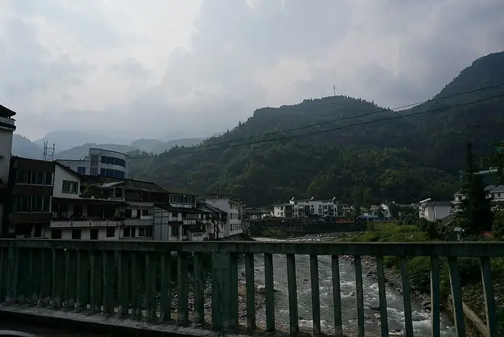
Photo adjustments
Full frame retained; resized proportionally to a maximum dimension of 960 pixels and converted to WebP quality 88. No crop, retouch, generated elements, or subject alteration. Final website rendition: full frame retained, proportionally resized to at most 720 pixels and converted to WebP. No additional retouching or subject alteration. Card displays may crop the view.
- Administrative area
- County · 县
- Part of
- Chengdu
- Chinese name
- 大邑县
- Local areas
- County guide
Area & population
- Area in the source
- 1,548.00 km²
- Population · 2020
- 515,962
- Administrative seat
- Jinyuan Subdistrict
Source: cited geographic source, as of the dates shown.
Setting and landscape
The county has a humid subtropical monsoon climate. Its high point is Xiling Snow Mountain (西岭雪山), whose main summit, Daxuetang (大雪塘), reaches 5,364 m, carries snow all year and is listed as the highest peak within Chengdu. The Tang poet Du Fu's (杜甫) line about a window framing the thousand-year snow of the western ridge may refer to this mountain.
What to see
The Xiling Snow Mountain area takes in a scenic area with a ski field and the Huashuiwan (花水湾) hot-spring resort. East of Anren (安仁镇), Liu's Manor (刘氏庄园) is made up of five mansions built by Liu Wencai (刘文彩), a member of the Sichuan gentry, and his brothers, together with the Liu family's ancestral home. Begun in the late Qing, it has 545 rooms in two building groups and became a major national protected site in 1996. The county's other national protected sites are the Chuanwang Palace (川王宫) at Xinchang (新场) and the Gaoshan ancient city site (高山古城遗址).
Mount Heming (鹤鸣山), about 70 km from Chengdu, is where Zhang Daoling (张道陵) founded the Way of the Celestial Masters (天师道) in the Eastern Han, the event taken as the formal start of Taoism; its Taoist remains are a provincial protected site. The Jianchuan Museum (建川博物馆), a private museum known for relics of the War of Resistance against Japan, and the Yaoshi Cliff carvings (药师岩摩崖造像) are also in the county.
Food and local products
Dayi preserved mustard tuber (大邑榨菜) and Dayi golden honey plums (大邑金蜜李) are national geographical-indication products.
Getting oriented
The Chengwenqiong Expressway (成温邛高速公路) and the West Sichuan tourist loop road (川西旅游环线) pass through the county.
Highlights
- Xiling Snow Mountain 西岭雪山: Main summit 5,364 m, listed as the highest peak in Chengdu; has a ski field.
- Liu's Manor 刘氏庄园: Five mansions of Liu Wencai and his brothers at Anren; national protected site since 1996.
- Mount Heming 鹤鸣山: Where Zhang Daoling founded the Way of the Celestial Masters in the Eastern Han.
- Chuanwang Palace, Xinchang 新场川王宫: One of the county's three national protected sites.
Sources for this guide
大邑县 - 维基百科,自由的百科全书 · Wikipedia (Chinese) · CC BY-SA 4.0
刘氏庄园 - 维基百科,自由的百科全书 · Wikipedia (Chinese) · CC BY-SA 4.0
西岭雪山 - 维基百科,自由的百科全书 · Wikipedia (Chinese) · CC BY-SA 4.0
鹤鸣山 - 维基百科,自由的百科全书 · Wikipedia (Chinese) · CC BY-SA 4.0
Original English written from the listed sources and checked sentence by sentence against quoted extracts by a separate reviewer. Updated 2026-09-25.
Explore Dayi County
Core places to explore, with English and Chinese names.
Places to explore around Dayi County
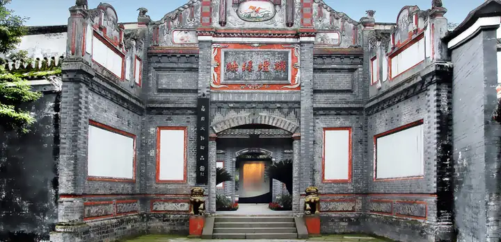 Anren Ancient Town · 安仁古镇
Anren Ancient Town安仁古镇
Anren brings together mansion streets and museums in one small town southwest of Chengdu. The historic residential area, Liu’s Manor Museum and the Jianchuan Museum Cluster offer different scales of visit: street architecture, a…
Read the place guide →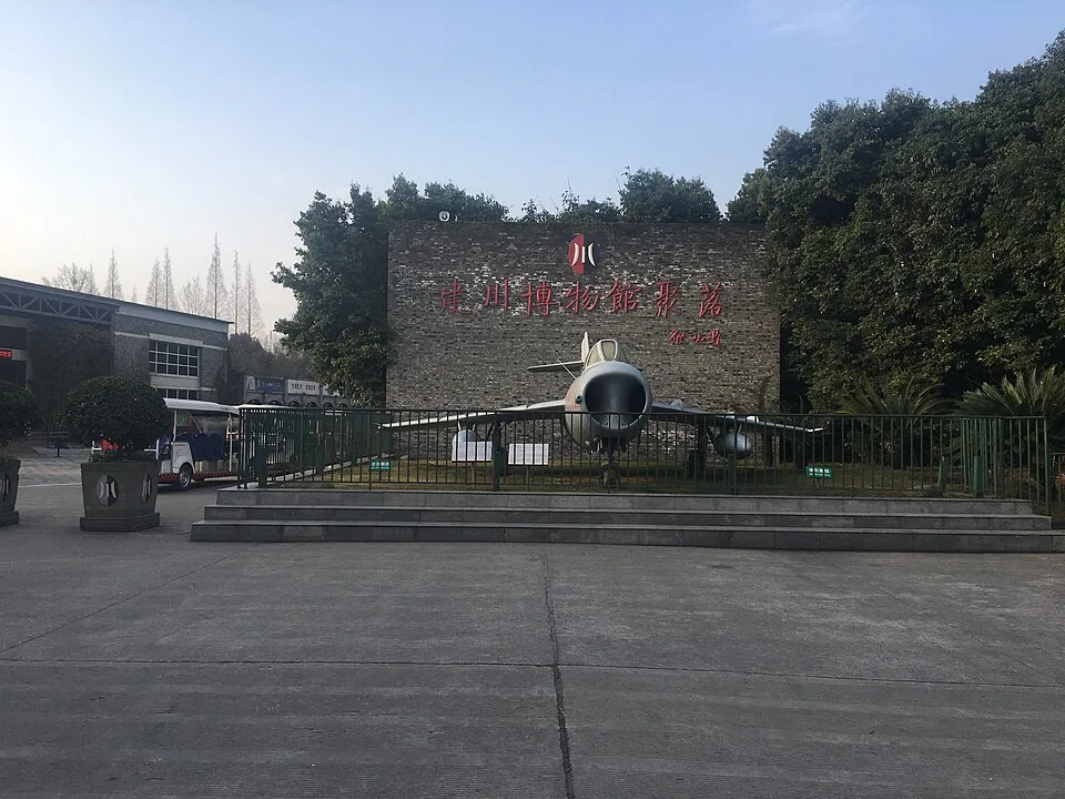 Jianchuan Museum Cluster · 建川博物馆聚落. Photo: 2019-02-21 09:03:37.
Jianchuan Museum Cluster建川博物馆聚落
Jianchuan is a campus of separate museums in Anren, with a strong focus on twentieth-century China. Its wartime galleries distinguish Communist forces, the Nationalist front and American assistance, while other buildings use…
Read the place guide →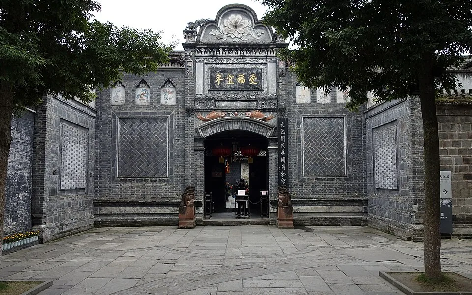 Liu's Manor · 刘氏庄园. Photo: 2016-11-23 12:57:07.
Liu's Manor刘氏庄园
Liu’s Manor at Anren is a large residential compound assembled from several mansions and the Liu family’s ancestral home. Its buildings fall into northern and southern groups rather than one continuous palace-like block. The…
Read the place guide → Xiling Snow Mountain · 西岭雪山
Xiling Snow Mountain西岭雪山
Xiling Snow Mountain offers several distinct experiences. The Dafeishui front mountain is a walking route, while the ski-field side combines seasonal recreation with a higher sightseeing area at Riyueping. Two cableways serve…
Read the place guide → AI illustration · AI 示意图(仅供参考,非该地点实拍)
Xinchang Ancient Town新场古镇
Xinchang in Dayi retains a market-town layout of broad main streets, deep shop houses and smaller lanes. Shangzheng and Xiazheng streets are useful starting points for seeing how commerce and domestic life shared the same…
Read the place guide →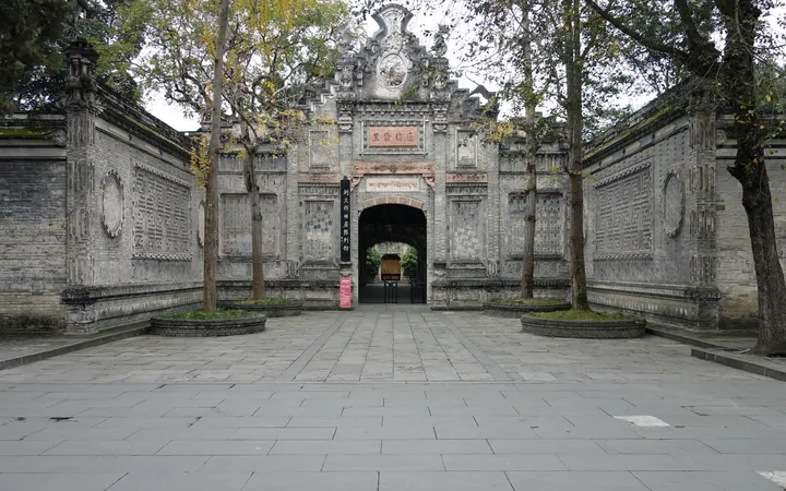 The entrance gate of the Liu Wenhui Residence Museum in Dayi County · 大邑刘文辉旧居陈列馆入口牌楼 Source-recorded photograph date: 2016-11-23 10:19:35.
Liu Wenhui Residence Museum刘文辉旧居陈列馆
Liu Wenhui’s former residence in Anren combines linked courtyard houses with architectural elements influenced by Western fortified residences. The museum follows his career through military life, government in Xikang and later…
Read the place guide → A broad temple gate hall of red timber and white-and-grey walls with several tiers of dark tiled roofs and upswept eaves, set against a dense green hillside; a stone staircase leads up to the central doorway beneath a black and gold plaque, with a visitor carrying a white umbrella on the steps.
Heming Mountain Taoist Temple鹤鸣山道观
Heming Mountain in Dayi is closely associated with the early Taoist tradition of Zhang Daoling. The temple buildings rise in tiers along the lower mountain, with halls and pavilions rebuilt or repaired across different periods…
Read the place guide →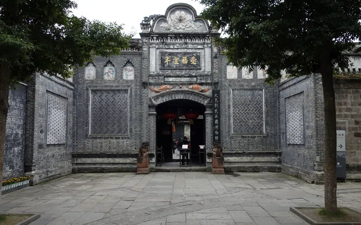 The gate front of 刘氏庄园: a grey brick wall with a carved arched doorway lettered 受福宜年 in gold, framed by relief panels and a scrolled crest, with stone drums at the steps, red lanterns inside the opening, and a paved courtyard.
Anren Ancient Town and Liu Family Manor安仁古镇与刘氏庄园
Anren is a town in Dayi County, Chengdu, founded in the Tang dynasty and now filled with old mansions and museums; the Dayi Liu Family Manor Museum, a national key cultural relics protection unit, stands on Jingui Street.
Read the place guide →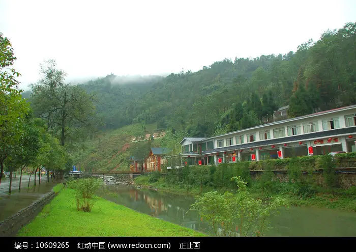 Huashuiwan Hot Spring · 花水湾温泉
Huashuiwan Hot Spring花水湾温泉
Huashuiwan is a hot-spring resort town in Dayi County, Chengdu, one of three core areas making up the Xiling Snow Mountain-Huashuiwan Tourism Resort Zone, which the Ministry of Culture and Tourism named a national-level tourist resort area in June 2024.
Read the place guide →Plan your visit
Getting there
Dayi County is about 50 km in a straight line from central Chengdu. Search for 大邑县 in a map app to find stations and your accommodation.
Where to stay →Build your route
Anren Ancient Town and Jianchuan Museum Cluster are about 2 km apart in a straight line. The linked place guides have entrance and visit details.
Continue with Chengdu →More in Chengdu
Sources & geographic information
Administrative names and parent areas: Official geographic directory · Reference date 2026-09-06.
Some facts checked against 大邑县 — Wikipedia contributors, CC BY-SA 4.0.
Some facts checked against 刘氏庄园 — Wikipedia contributors, CC BY-SA 4.0.
Some facts checked against 西岭雪山 — Wikipedia contributors, CC BY-SA 4.0.
Some facts checked against 鹤鸣山 — Wikipedia contributors, CC BY-SA 4.0.
Photo: Anren Ancient Town · Source photographer · License not provided. EXIF orientation normalized; resized without changing aspect ratio; converted to WebP. No subject edits.
Photo: Jianchuan Museum Cluster · BladeRunner2077 · CC BY-SA 4.0. Converted to WebP and resized without changing the subject or cropping the source frame.

Photo: Liu's Manor · Tyg728 · CC BY-SA 4.0. Converted to WebP and resized without changing the subject or cropping the source frame.

Photo: Xiling Snow Mountain · 书剑飘零 · CC BY-SA 4.0. EXIF orientation normalized; resized without changing aspect ratio; converted to WebP. No subject edits.

Photo: Liu Wenhui Residence Museum · Tyg728 · CC BY-SA 4.0. Full frame retained; proportionally resized and converted to WebP. No retouching or changes to the photographed subject. Card displays may crop the view.

Photo: Heming Mountain Taoist Temple · JL Cogburn · CC BY-SA 2.0. Full frame retained; proportionally resized and converted to WebP. No retouching or changes to the photographed subject. Card displays may crop the view.
.jpg)
Photo: Anren Ancient Town and Liu Family Manor · Tyg728 · CC BY-SA 4.0. Full frame retained; proportionally resized and converted to WebP. No retouching or changes to the photographed subject. Card displays may crop the view.
Photo: Huashuiwan Hot Spring · Source photographer · License not provided. EXIF orientation normalized; resized without changing aspect ratio; converted to WebP. No subject edits.
Map data © OpenStreetMap contributors. Pins mark approximate centres, not entrances or boundaries.