


Get to know Jiulong County
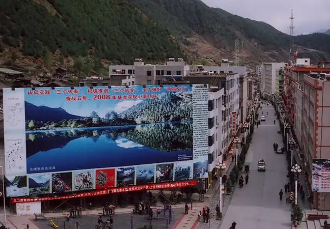
Photo adjustments
EXIF orientation normalized; resized without changing aspect ratio; converted to WebP. No subject edits.
- Administrative area
- County · 县
- Part of
- Garzê Tibetan Autonomous Prefecture
- Chinese name
- 九龙县
- Local areas
- County guide
Area & population
- Area in the source
- 6,770.00 km²
- Population · 2020
- 53,738
- Administrative seat
- Gor
Source: cited geographic source, as of the dates shown.
Wuxuhai and its surrounding peaks
Wuxuhai Lake (伍须海), in the north of the county, lies 25 kilometres from the county seat. About 1,200 metres long and 600 metres wide, it receives water from melting snow and ice and from groundwater. The scenic area includes Riluku (日鲁库), the Twelve Sisters Peaks (十二姊妹峰), Wuxu Tibetan Village (伍须藏寨), waterfalls and grassland.
A cultural corridor
Jiulong has long connected Tibetan communities of Kham (康巴) with Yi communities of Daliangshan (大凉山). Hakka (客家) traditions, several Tibetan cultural branches and Yi Bimo (毕摩) culture coexist here. Local products include yak, Sichuan pepper and Tianxiang tea (天乡茶叶); the county also produces matsutake mushrooms.
Sources for this guide
九龙概况 - 九龙县人民政府 · Jiulong County Government
伍须海景区 - 九龙县人民政府 · Jiulong County Government
Original English written from the listed sources and checked sentence by sentence against quoted extracts by a separate reviewer. Updated 2026-09-26.
Explore Jiulong County
Core places to explore, with English and Chinese names.
Places to explore around Jiulong County
 Wuxuhai Lake ·
 Plan your visit
Getting there
Jiulong County is about 125 km in a straight line from central Garzê Tibetan Autonomous Prefecture. Search for 九龙县 in a map app to find stations and your accommodation.
Where to stay →Build your route
Start with Wuxuhai Lake. The linked place guides have entrance and visit details.
Continue with Garzê Tibetan Autonomous Prefecture →More in Garzê Tibetan Autonomous Prefecture
Sources & geographic information
Administrative names and parent areas: Official geographic directory · Reference date 2026-09-06.
Photo: Wuxuhai Lake · Source photographer · License not provided. EXIF orientation normalized; resized without changing aspect ratio; converted to WebP. No subject edits.
Map data © OpenStreetMap contributors. Pins mark approximate centres, not entrances or boundaries.