


Get to know Gaoping District
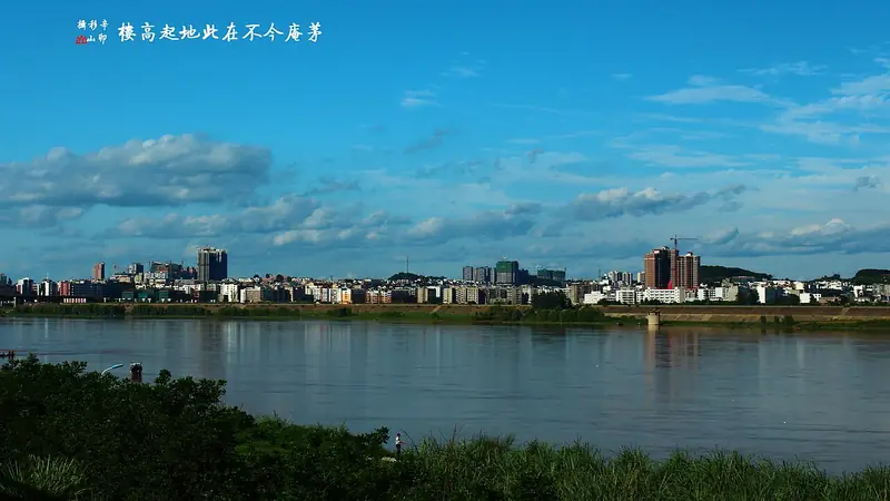
Photo adjustments
Full frame retained; EXIF orientation normalized, proportionally resized to at most 800 pixels and converted to WebP. No generated pixels or subject changes. Cards may crop the display.
- Administrative area
- District · 市辖区
- Part of
- Nanchong
- Chinese name
- 高坪区
- Local areas
- District guide
Area & population
- Area in the source
- 812.00 km²
- Population · 2020 census
- 570,415
Source: cited geographic source, as of the dates shown.
Hills, bells and the White Pagoda
Lingyun Mountain has pine and cypress woods, temple bells and lakes below its slopes. At Heming Mountain (鹤鸣山), the White Pagoda (白塔) dates from the Song dynasty (宋代). Its thirteen tiers carry bronze bells at the corners of their eaves. River-view terraces and a corridor bearing poetry about Nanchong, the pagoda and nature add detail to a visit around the hill.
Silk and the river’s great bend
Dujing Subdistrict (都京街道) has a silk-production tradition, with industrial tourism centred on Liuhe Silk (六合丝绸). For a different view of Gaoping, Qingju Town (青居镇) stands at a pronounced bend in the Jialing: the river makes an almost complete loop around Niuduba (牛肚坝), creating the 359-degree meander described by Nanchong Daily.
Sources for this guide
做强文旅品牌 助力区域发展- 南充市人民政府 · Nanchong Municipal Government / Nanchong Evening News
高坪:做足山水文章绘就最美画卷-南充市发展和改革委员会 · Nanchong Development and Reform Commission / Nanchong Daily
Original English written from the listed sources and checked sentence by sentence against quoted extracts by a separate reviewer. Updated 2026-09-26.
Explore Gaoping District
Core places to explore, with English and Chinese names.
Places to explore around Gaoping District
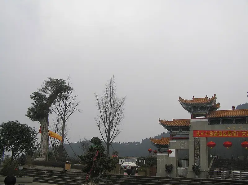 Lingyun Mountain ·
 Plan your visit
Getting there
Gaoping District is about 6 km in a straight line from central Nanchong. Search for 高坪区 in a map app to find stations and your accommodation.
Where to stay →Build your route
Start with Lingyun Mountain. The linked place guides have entrance and visit details.
Continue with Nanchong →More in Nanchong
Sources & geographic information
Administrative names and parent areas: Official geographic directory · Reference date 2026-09-06.
Photo: Lingyun Mountain · landagent · CC BY-SA 3.0. EXIF orientation normalized; resized without changing aspect ratio; converted to WebP. No subject edits.

Map data © OpenStreetMap contributors. Pins mark approximate centres, not entrances or boundaries.