


Get to know Nanbu County
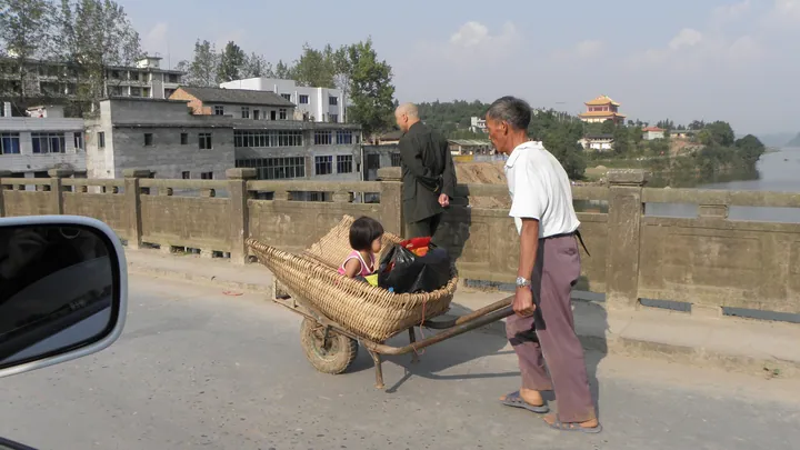
Photo adjustments
Full frame retained; proportionally resized and converted to WebP. No retouching or changes to the photographed subject. Card displays may crop the view.
- Administrative area
- County · 县
- Part of
- Nanchong
- Chinese name
- 南部县
- Local areas
- County guide
Area & population
- Area in the source
- 2,305.00 km²
- Population · 2020 census
- 817,235
- Administrative seat
- Nanlong
Source: cited geographic source, as of the dates shown.
Shengzhong Lake
Islands dot the lake, which reaches 3.8 kilometres across at its widest point and more than 80 metres in depth. Its main still-water navigation channel runs for 86 kilometres. Fishing is part of its identity: in 2010, the General Administration of Sport designated Shengzhong Lake a fishing competition training base. The surrounding area also retains traditions including lion dances, stilt walking, paper cutting and root carving.
Yuji Mountain
Yuji Mountain (禹迹山), 18 kilometres from the county seat, belongs to the outlying ranges of the Daba Mountains (大巴山). Its standing Buddha measures 17.5 metres tall. Apart from the upper back, which joins the cliff, the figure is separated from the rock face.
Sources for this guide
升钟湖旅游景区-南部县人民政府 · Nanbu County Government
禹迹山景区-南部县人民政府 · Nanbu County Government
Original English written from the listed sources and checked sentence by sentence against quoted extracts by a separate reviewer. Updated 2026-09-27.
Explore Nanbu County
Core places to explore, with English and Chinese names.
Places to explore around Nanbu County
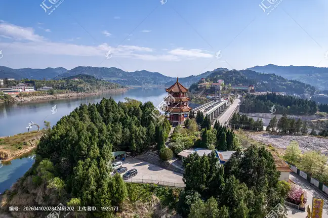 Shengzhong Lake ·
 Plan your visit
Getting there
Nanbu County is about 60 km in a straight line from central Nanchong. Search for 南部县 in a map app to find stations and your accommodation.
Where to stay →Build your route
Start with Shengzhong Lake. The linked place guides have entrance and visit details.
Continue with Nanchong →More in Nanchong
Sources & geographic information
Administrative names and parent areas: Official geographic directory (dmfw.mca.gov.cn) · Reference date 2026-09-06.
Photo: Shengzhong Lake · Source photographer · License not provided. EXIF orientation normalized; resized without changing aspect ratio; converted to WebP. No subject edits.
Map data © OpenStreetMap contributors. Pins mark approximate centres, not entrances or boundaries.