


Get to know Shunqing District
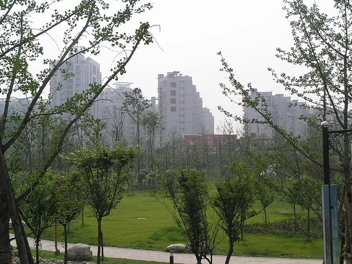
Photo adjustments
Full-frame source proportionally resized and converted to WebP for display. No subject alteration. Source-supplied marks and edits remain; cards may crop the view.
- Administrative area
- District · 市辖区
- Part of
- Nanchong
- Chinese name
- 顺庆区
- Local areas
- District guide
Area & population
- Area in the source
- 545.00 km²
- Population · 2020 census
- 834,294
- Administrative seat
- Zhongcheng Subdistrict
Source: cited geographic source, as of the dates shown.
Xishan and the Three Kingdoms
Xishan Scenic Area (西山风景区) lies in the west of the urban area. Its Wanjuan Tower (万卷楼) section centres on historian Chen Shou (陈寿) and his Records of the Three Kingdoms (三国志). Named sights include the tower, his former residence and a reading terrace. The Kaihan Tower (开汉楼) section commemorates Han general Ji Xin (纪信) and includes a gallery of stone carvings.
A courtyard home
Luo Ruiqing Memorial Hall (罗瑞卿纪念馆) contains the former home where Luo Ruiqing (罗瑞卿) was born in 1906 and lived for twenty years. The east-facing house stands beside the Jialing River. Its nine rooms form a three-sided courtyard, with earth-and-timber construction and grey roof tiles.
Sources for this guide
顺庆概况 · Shunqing District Government
顺庆区A级旅游景区基本情况 · Shunqing District Government
Original English written from the listed sources and checked sentence by sentence against quoted extracts by a separate reviewer. Updated 2026-09-27.
Explore Shunqing District
Core places to explore, with English and Chinese names.
Places to explore around Shunqing District
 AI illustration · AI
 Plan your visit
Getting there
Shunqing District is about 6 km in a straight line from central Nanchong. Search for 顺庆区 in a map app to find stations and your accommodation.
Where to stay →Build your route
Start with Xishan Scenic Area. The linked place guides have entrance and visit details.
Continue with Nanchong →More in Nanchong
Sources & geographic information
Administrative names and parent areas: Official geographic directory · Reference date 2026-09-06.
Map data © OpenStreetMap contributors. Pins mark approximate centres, not entrances or boundaries.