


Get to know Baoshan Township
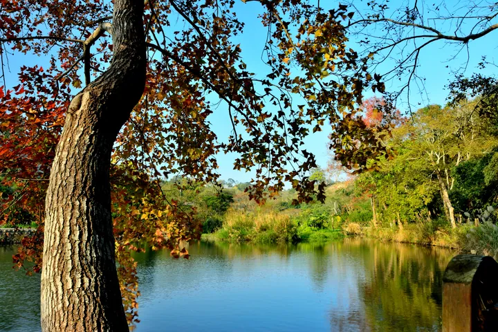
Photo adjustments
Full frame retained; proportionally resized and converted to WebP. No retouching or changes to the photographed subject. Card displays may crop the view.
- Administrative area
- Rural township · 鄉
- Part of
- Hsinchu County
- Chinese name
- 寶山鄉
- Local areas
- Rural township guide
Area & population
- Area in the source
- 65.00 km²
Source: cited geographic source, as of the dates shown.
Reservoirs and river sources
Baoshan Reservoir and Baoshan Second Reservoir supply water to the Hsinchu area and the Science Park. The first lies on Chaishu Creek (柴梳溪), a Touqian (頭前溪) tributary, with water diverted from the Shangping (上坪溪) system. Streams originating in Shanhu (山湖) and Xincheng (新城) villages feed the Keya (客雅溪) and Yangang (鹽港溪) rivers.
Orchards and named cultural places
Starfruit, olives, pears, citrus and green bamboo shoots are local products. Baoshan’s sugar factory began producing brown sugar during the Japanese period. Named visitor places include Sanfeng charcoal kiln (三峰炭窯), the Twin Wells (雙胞胎井), Zhongfu Buddhist Temple (種福禪寺), Xincheng Xinfeng Temple (新城新豐宮) and Shuangxi Shuangfeng Temple (雙溪雙豐宮).
Sources for this guide
寶山鄉 (台灣) - 维基百科,自由的百科全书 · Wikipedia contributors · CC BY-SA 4.0
Baoshan, Hsinchu · Wikipedia contributors · CC BY-SA 4.0
Original English written from the listed sources and checked sentence by sentence against quoted extracts by a separate reviewer. Updated 2026-09-30.
Explore Baoshan Township
Core places to explore, with English and Chinese names.
Baoshan Township 寶山鄉
Plan your visit
Getting there
Baoshan Township is about 10 km in a straight line from central Hsinchu County. Search for 寶山鄉 in a map app to find stations and your accommodation.
Where to stay →More in Hsinchu County
Sources & geographic information
Administrative names and parent areas: Official geographic directory · Reference date 2026-09-06.
Some facts checked against 寶山鄉 (台灣) — Wikipedia contributors, CC BY-SA 4.0.
Some facts checked against Baoshan, Hsinchu — Wikipedia contributors, CC BY-SA 4.0.
Map data © OpenStreetMap contributors. Pins mark approximate centres, not entrances or boundaries.