


Get to know Wanrong Township
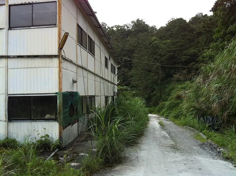
Photo adjustments
Full frame retained; EXIF orientation normalized, proportionally resized to at most 800 pixels and converted to WebP. No generated pixels or subject changes. Cards may crop the display.
- Administrative area
- Rural township · 鄉
- Part of
- Hualien County
- Chinese name
- 萬榮鄉
- Local areas
- Rural township guide
Area & population
- Area in the source
- 618.49 km²
Source: cited geographic source, as of the dates shown.
Bihe Pond
Mountains surround the pond in Mingli Village (明利村), where a statue of the Virgin Mary stands on a small floating island in the middle of the water. A path runs around the shore. The site was once community farmland: chief Bihe Walis (碧赫瓦利斯) donated land and built an embankment, and his son later restored it and channelled mountain spring water into the pond.
A nearby forestry stop
Down towards the foot of the mountains, Lintianshan Forestry Culture Park (林田山林業文化園區) lies in Fenglin (鳳林), rather than Wanrong. Its surviving forestry structures include Japanese-style wooden dormitories, logging machinery, remains of timber-processing buildings and tracks used to transport wood.
Sources for this guide
【花蓮趣NO.55】封面故事》花蓮冬日浪漫 幸福與希望的旅程-花蓮旅遊網 · Hualien County Government
萬榮工作站 · Hualien Branch, Forestry and Nature Conservation Agency
Original English written from the listed sources and checked sentence by sentence against quoted extracts by a separate reviewer. Updated 2026-09-27.
Explore Wanrong Township
Core places to explore, with English and Chinese names.
Wanrong Township 萬榮鄉
Plan your visit
Getting there
Wanrong Township is about 8 km in a straight line from central Hualien County. Search for 萬榮鄉 in a map app to find stations and your accommodation.
Where to stay →More in Hualien County
Sources & geographic information
Administrative names and parent areas: Official geographic directory · Reference date 2026-09-06.
Map data © OpenStreetMap contributors. Pins mark approximate centres, not entrances or boundaries.