


Get to know Bali District
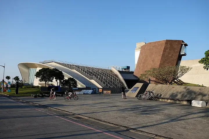
Photo adjustments
Full-frame source proportionally resized and converted to WebP for display. No subject alteration. Source-supplied marks and edits remain; cards may crop the view.
- Administrative area
- District · 區
- Part of
- New Taipei City
- Chinese name
- 八里區
- Local areas
- District guide
Area & population
- Area in the source
- 39.49 km²
Source: cited geographic source, as of the dates shown.
A redesigned riverfront
Bali Left Bank Promenade Plaza (八里左岸漫步廣場), formerly Shuixing Park (水興公園), uses hills, valleys, woodland, bunkers and tides as design themes. Curving riverside paths and reclining seats look towards the river and Datun Mountain (大屯山). An old military bunker has become Cuibao Playground (翠堡遊戲場), with climbing equipment and a balance bridge, plus swings on its upper platform.
Mangroves at Wazihwei
Wazihwei (挖子尾) has lagoon-like terrain favourable to mangroves. Mudskippers, fiddler crabs and barnacles inhabit the tidal environment alongside estuary plants. A cycling route has ecological interpretation panels, while the northern seawall provides views towards Guanyin Mountain (觀音山), Tamsui (淡水) and the Bali Water Sports Center (八里水上運動中心).
Sources for this guide
八里左岸漫步廣場 | 新北市觀光旅遊網 · Tourism and Travel Department, New Taipei City Government
挖子尾自然保留區 | 新北市觀光旅遊網 · Tourism and Travel Department, New Taipei City Government
Original English written from the listed sources and checked sentence by sentence against quoted extracts by a separate reviewer. Updated 2026-09-27.
Explore Bali District
Core places to explore, with English and Chinese names.
Places to explore around Bali District
Plan your visit
Getting there
Bali District is about 15 km in a straight line from central New Taipei City. Search for 八里區 in a map app to find stations and your accommodation.
Where to stay →Build your route
Start with Shihsanhang Museum of Archaeology. The linked place guides have entrance and visit details.
Continue with New Taipei City →More in New Taipei City
Sources & geographic information
Administrative names and parent areas: Official geographic directory · Reference date 2026-09-06.
Photo: Shihsanhang Museum of Archaeology · Taiwankengo · CC BY-SA 4.0. Full-frame source proportionally resized and converted to WebP for display. No subject alteration. Source-supplied marks and edits remain; cards may crop the view.

Map data © OpenStreetMap contributors. Pins mark approximate centres, not entrances or boundaries.