


Get to know Zhonghe District
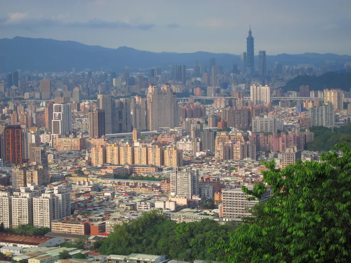
Photo adjustments
Full frame retained; proportionally resized and converted to WebP. No retouching or changes to the photographed subject. Card displays may crop the view.
- Administrative area
- District · 區
- Part of
- New Taipei City
- Chinese name
- 中和區
- Local areas
- District guide
Area & population
- Area in the source
- 20.29 km²
Source: cited geographic source, as of the dates shown.
A temple above the basin
Nanshan Fude Temple (南山福德宮) was founded by migrants from Zhangzhou (漳州). Hills rising behind and on either side resemble a stove, explaining the Hongludi name. The main hall honours the Earth God (福德正神), Zhusheng Niangniang (註生娘娘) and the mountain deity. A trail behind the temple climbs Nanshijiao Mountain (南勢角山), whose pavilion overlooks the Taipei Basin (臺北盆地), Dahan River (大漢溪) and Xindian River (新店溪).
Myanmar Street flavours
Huaxin Street developed through communities of ethnic Chinese from Myanmar and descendants of troops who had moved from Yunnan (雲南) into Myanmar and Thailand. Chinese and Burmese appear together on shop signs. Food includes coconut chicken, fish-noodle soup, shredded-chicken noodles and fried pea cakes; cooking traditions draw on Yunnan and Myanmar.
Sources for this guide
烘爐地南山福德宮 | 新北市觀光旅遊網 · Tourism and Travel Department, New Taipei City Government
華新街(緬甸街) | 新北市觀光旅遊網 · Tourism and Travel Department, New Taipei City Government
Original English written from the listed sources and checked sentence by sentence against quoted extracts by a separate reviewer. Updated 2026-09-27.
Explore Zhonghe District
Core places to explore, with English and Chinese names.
Zhonghe District 中和區
Plan your visit
Getting there
Zhonghe District is about 4 km in a straight line from central New Taipei City. Search for 中和區 in a map app to find stations and your accommodation.
Where to stay →More in New Taipei City
Sources & geographic information
Administrative names and parent areas: Official geographic directory · Reference date 2026-09-06.
Map data © OpenStreetMap contributors. Pins mark approximate centres, not entrances or boundaries.