


Get to know Shulin District
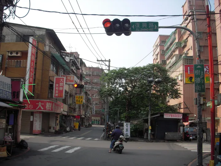
Photo adjustments
Full frame retained; proportionally resized and converted to WebP. No retouching or changes to the photographed subject. Card displays may crop the view.
- Administrative area
- District · 區
- Part of
- New Taipei City
- Chinese name
- 樹林區
- Local areas
- District guide
Area & population
- Area in the source
- 33.13 km²
Source: cited geographic source, as of the dates shown.
A station built for coal
The restored station combines Japanese and Western architectural forms with washed-stone exterior walls. Exhibits include a miniature station made from discarded materials, a railway model and old railway timetables and travel maps. Shanjia was once a major coalfield, and the station carried coal before shifting to passenger service as mining declined.
A former landfill becomes wetland
Lujiaoxi Constructed Wetland (鹿角溪人工濕地) occupies 16 hectares at the meeting of the Dahan River (大漢溪) and Lujiao Stream (鹿角溪). Aquatic plants and ecological ponds help purify water on the former landfill site. The Dahan cycling route crosses the wetland, where birds feed on small fish and other aquatic life.
Sources for this guide
山佳車站 | 新北市觀光旅遊網 · Tourism and Travel Department, New Taipei City Government
鹿角溪人工濕地 | 新北市觀光旅遊網 · Tourism and Travel Department, New Taipei City Government
Original English written from the listed sources and checked sentence by sentence against quoted extracts by a separate reviewer. Updated 2026-09-27.
Explore Shulin District
Core places to explore, with English and Chinese names.
Shulin District 樹林區
Plan your visit
Getting there
Shulin District is about 6 km in a straight line from central New Taipei City. Search for 樹林區 in a map app to find stations and your accommodation.
Where to stay →More in New Taipei City
Sources & geographic information
Administrative names and parent areas: Official geographic directory · Reference date 2026-09-06.
Map data © OpenStreetMap contributors. Pins mark approximate centres, not entrances or boundaries.