


Get to know Jinshan District
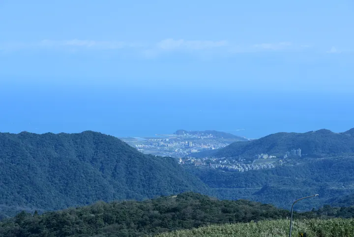
Photo adjustments
Full frame retained; proportionally resized and converted to WebP. No retouching or changes to the photographed subject. Card displays may crop the view.
- Administrative area
- District · 區
- Part of
- New Taipei City
- Chinese name
- 金山區
- Local areas
- District guide
Area & population
- Area in the source
- 49.21 km²
Source: cited geographic source, as of the dates shown.
A wooded headland
Old barracks, bunkers and artillery positions remain around the forest trail, with sea on three sides. Trees shade the circular route. At the entrance stands a smiling Maitreya statue named Afu (彌勒佛阿福). Taiwan lilies and golden spider lilies appear along the paths in their respective seasons.
Sea stacks and coastal views
The cape looks east towards Yehliu Cape (野柳岬) and west towards Huanggang Fishing Harbour (磺港漁港) and the hills and sea of Zhongjiao (中角). The Twin Candlestick Islets (燭臺雙嶼) are two sea-eroded stone pillars. From the viewing platform, a circular steel frame sets them within the seascape; local storytelling likens the pair to a husband and wife.
Sources for this guide
獅頭山公園(獅頭山步道) | 新北市觀光旅遊網 · Tourism and Travel Department, New Taipei City Government
Original English written from the listed sources and checked sentence by sentence against quoted extracts by a separate reviewer. Updated 2026-09-27.
Explore Jinshan District
Core places to explore, with English and Chinese names.
Jinshan District 金山區
Plan your visit
Getting there
Jinshan District is about 30 km in a straight line from central New Taipei City. Search for 金山區 in a map app to find stations and your accommodation.
Where to stay →More in New Taipei City
Sources & geographic information
Administrative names and parent areas: Official geographic directory · Reference date 2026-09-06.
Map data © OpenStreetMap contributors. Pins mark approximate centres, not entrances or boundaries.