


Get to know Pinglin District
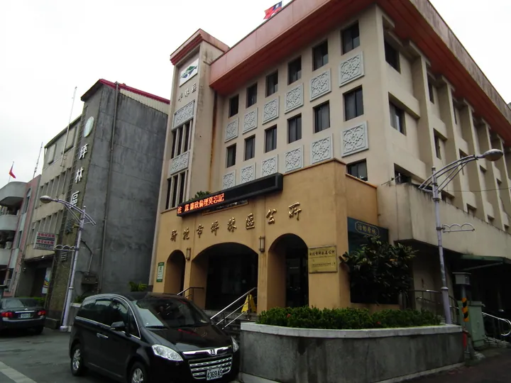
Photo adjustments
Full frame retained; proportionally resized and converted to WebP. No retouching or changes to the photographed subject. Card displays may crop the view.
- Administrative area
- District · 區
- Part of
- New Taipei City
- Chinese name
- 坪林區
- Local areas
- District guide
A museum of tea
The museum grounds cover nearly three hectares. Its architecture combines garden elements associated with Jiangnan (江南) and contemporary design. Exhibition rooms, an experience hall and tea classrooms introduce Taiwan’s tea industry alongside Chinese and international tea cultures. Illustrated displays, films and interpretation explain the work behind a cup of tea.
Leaves, heat and fragrance
The processing sequence includes picking fresh leaves, withering in sunlight and hot air, indoor resting, pan-firing, rolling and two stages of drying. An experience area uses touch, smell, listening and hands-on activities to explore tea, complementing the information presented in the galleries.
Sources for this guide
新北市坪林茶業博物館 | 新北市觀光旅遊網 · Tourism and Travel Department, New Taipei City Government
Original English written from the listed sources and checked sentence by sentence against quoted extracts by a separate reviewer. Updated 2026-09-27.
Explore Pinglin District
Core places to explore, with English and Chinese names.
Pinglin District 坪林區
Plan your visit
Getting there
Pinglin District is about 30 km in a straight line from central New Taipei City. Search for 坪林區 in a map app to find stations and your accommodation.
Where to stay →More in New Taipei City
Sources & geographic information
Administrative names and parent areas: Official geographic directory · Reference date 2026-09-06.
Map data © OpenStreetMap contributors. Pins mark approximate centres, not entrances or boundaries.