


Get to know Shenkeng District
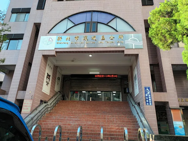
Photo adjustments
Full frame retained; proportionally resized and converted to WebP. No retouching or changes to the photographed subject. Card displays may crop the view.
- Administrative area
- District · 區
- Part of
- New Taipei City
- Chinese name
- 深坑區
- Local areas
- District guide
Area & population
- Area in the source
- 20.58 km²
Source: cited geographic source, as of the dates shown.
The four local products
The district’s “four treasures” are tea, tofu, bamboo shoots and black-pig pork. Local tofu uses a brine coagulant and has a charcoal-like flavour. Its reputation helped the old street develop as a food destination. Tea and bamboo also form part of the landscape around Arouyang (阿柔洋), where old paths and garden restaurants extend the visit beyond the shops.
Tea on the river
The landing beside the old street once handled tea from the Wenshan (文山) area on the Jingmei River (景美溪). It also served routes linking the Danlan Historic Trail (淡蘭古道) and tea roads with Dadaocheng (大稻埕). Nearby heritage includes Yonganju (永安居), a residence of the Huang family.
Sources for this guide
深坑老街 | 新北市觀光旅遊網 · Tourism and Travel Department, New Taipei City Government
Original English written from the listed sources and checked sentence by sentence against quoted extracts by a separate reviewer. Updated 2026-09-27.
Explore Shenkeng District
Core places to explore, with English and Chinese names.
Shenkeng District 深坑區
Plan your visit
Getting there
Shenkeng District is about 15 km in a straight line from central New Taipei City. Search for 深坑區 in a map app to find stations and your accommodation.
Where to stay →More in New Taipei City
Sources & geographic information
Administrative names and parent areas: Official geographic directory · Reference date 2026-09-06.
Map data © OpenStreetMap contributors. Pins mark approximate centres, not entrances or boundaries.