


Get to know Shiding District
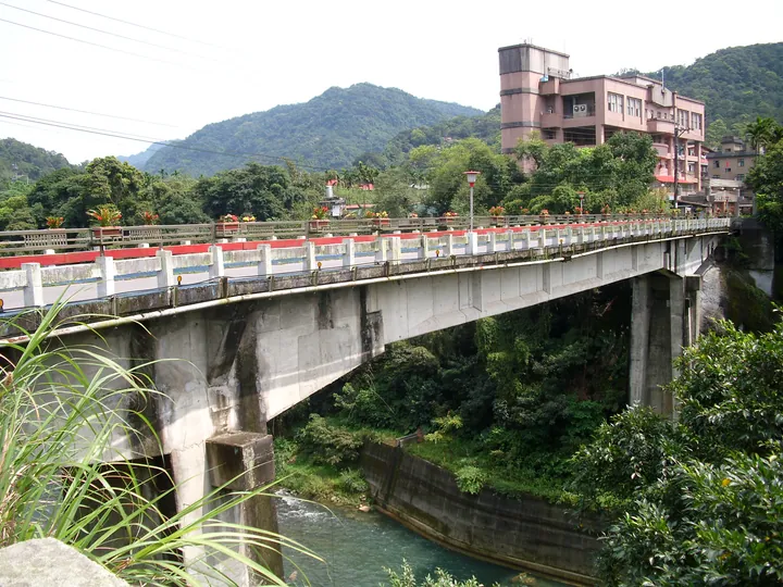
Photo adjustments
Full frame retained; proportionally resized and converted to WebP. No retouching or changes to the photographed subject. Card displays may crop the view.
- Administrative area
- District · 區
- Part of
- New Taipei City
- Chinese name
- 石碇區
- Local areas
- District guide
Two streets beside the water
Wanshou Bridge (萬壽橋) divides Shiding Old Street (石碇老街) into eastern and western sections. The west developed earlier around cloth dyeing and tea trading; the east expanded with coal mining. Houses built from local stream stones stand above the riverbed on supporting columns. Their stream-side rooms served as kitchens, mountain-side rooms as living rooms, and the middle passage as a pedestrian and shopping route.
Reservoir and tea terraces
In Yongan Village (永安里), Qiandaohu (千島湖) forms part of the Feicui Reservoir (翡翠水庫) catchment. From the Cuilan viewing platform (翠嵐平台), overlapping hills resemble scattered islands. Bagua Tea Garden (八卦茶園) offers a closer view of Shiding’s terraced tea fields.
Sources for this guide
石碇老街 | 新北市觀光旅遊網 · Tourism and Travel Department, New Taipei City Government
石碇千島湖/翡翠水庫徒步區 | 新北市觀光旅遊網 · Tourism and Travel Department, New Taipei City Government
Original English written from the listed sources and checked sentence by sentence against quoted extracts by a separate reviewer. Updated 2026-09-27.
Explore Shiding District
Core places to explore, with English and Chinese names.
Shiding District 石碇區
Plan your visit
Getting there
Shiding District is about 20 km in a straight line from central New Taipei City. Search for 石碇區 in a map app to find stations and your accommodation.
Where to stay →More in New Taipei City
Sources & geographic information
Administrative names and parent areas: Official geographic directory · Reference date 2026-09-06.
Map data © OpenStreetMap contributors. Pins mark approximate centres, not entrances or boundaries.