


Get to know Taishan District
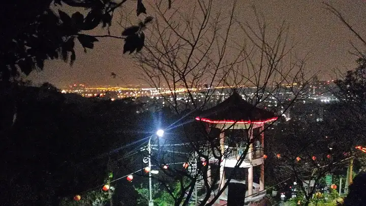
Photo adjustments
EXIF orientation normalized; resized without changing aspect ratio; converted to WebP. No subject edits.
- Administrative area
- District · 區
- Part of
- New Taipei City
- Chinese name
- 泰山區
- Local areas
- District guide
Steps through the trees
Yixuekeng Trail (義學坑步道) runs for about 800 metres, with stone steps and raised wooden stairs shaded by old trees. Butterflies inhabit the surrounding vegetation, and a wooden birdwatching pavilion provides a place for ecological observation. The route lies on the Shanjiao Fault (山腳斷層) and has nearly 200 metres of elevation change.
A park above the city
The upper trail gives views across Taipei and New Taipei, including Xinyue Bridge (新月橋) and Taipei 101 (臺北101). Its hilltop park has exercise equipment and connects several walking routes: Qiding Historic Trail (崎頂古道) leads to Upper Taishan Temple (頂泰山巖), while Qingfengting Trail (清風亭步道) reaches Qiongzihu Fude Temple (瓊仔湖福德宮).
Sources for this guide
泰山義學坑步道 | 新北市觀光旅遊網 · Tourism and Travel Department, New Taipei City Government
Original English written from the listed sources and checked sentence by sentence against quoted extracts by a separate reviewer. Updated 2026-09-27.
Explore Taishan District
Core places to explore, with English and Chinese names.
Taishan District 泰山區
Plan your visit
Getting there
Taishan District is about 8 km in a straight line from central New Taipei City. Search for 泰山區 in a map app to find stations and your accommodation.
Where to stay →More in New Taipei City
Sources & geographic information
Administrative names and parent areas: Official geographic directory · Reference date 2026-09-06.
Map data © OpenStreetMap contributors. Pins mark approximate centres, not entrances or boundaries.