


Get to know Tucheng District
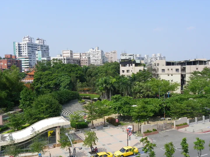
Photo adjustments
Full frame retained; proportionally resized and converted to WebP. No retouching or changes to the photographed subject. Card displays may crop the view.
- Administrative area
- District · 區
- Part of
- New Taipei City
- Chinese name
- 土城區
- Local areas
- District guide
Area & population
- Area in the source
- 29.56 km²
Source: cited geographic source, as of the dates shown.
Prehistory in a public park
Zhanlongshan Archaeological Site Cultural Park (斬龍山遺址文化公園) preserves material from the Neolithic Yuanshan Culture (圓山文化), dating from about 2,800 to 2,300 years ago. Worked stone tools and decorated pottery are the principal finds. Interpretation boards borrow pottery motifs, while a sandpit conceals replica potsherds and stone tools for simulated excavation.
Tung flowers above the city
Tung Blossom Park (桐花公園), established in 2004, covers seven hectares on the slopes of Tianshang Mountain (天上山). A wooden waterside walkway follows Shibiliao Stream (石壁寮溪). The park includes a charcoal-kiln display and a viewing platform overlooking Tucheng, with tung blossoms appearing in late spring and early summer.
Sources for this guide
斬龍山遺址文化公園 | 新北市觀光旅遊網 · Tourism and Travel Department, New Taipei City Government
桐花公園 | 新北市觀光旅遊網 · Tourism and Travel Department, New Taipei City Government
Original English written from the listed sources and checked sentence by sentence against quoted extracts by a separate reviewer. Updated 2026-09-27.
Explore Tucheng District
Core places to explore, with English and Chinese names.
Tucheng District 土城區
Plan your visit
Getting there
Tucheng District is about 7 km in a straight line from central New Taipei City. Search for 土城區 in a map app to find stations and your accommodation.
Where to stay →More in New Taipei City
Sources & geographic information
Administrative names and parent areas: Official geographic directory · Reference date 2026-09-06.
Map data © OpenStreetMap contributors. Pins mark approximate centres, not entrances or boundaries.