


Get to know Lanyu Township
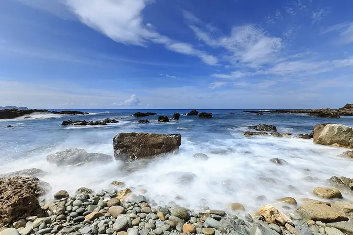
Photo adjustments
Full-frame source proportionally resized and converted to WebP for display. No subject alteration. Source-supplied marks and edits remain; cards may crop the view.
- Administrative area
- Rural township · 鄉
- Part of
- Taitung County
- Chinese name
- 蘭嶼鄉
- Local areas
- Rural township guide
Tao settlements and boats
Tao people (達悟族), also known as Yami, build plank boats from boards made from different tree species. Fishing for flying fish in spring and summer is part of island culture. The six communities include Yeyou (椰油), Langdao (朗島), Dongqing (東清), Yeyin (野銀), Hongtou (紅頭) and Yuren (漁人). Traditional houses partly below ground survive at Yeyin.
Named coastal places
The county tourism guide identifies Mother Hen Rock (母雞岩) at Langdao and a snorkelling area at a cave entrance in Yeyou. It also associates the Blue Cave (藍洞) with Kaiyuan Harbour (開元港). These names locate different stretches of the island’s coast alongside its villages.
Sources for this guide
蘭嶼鄉 - Wikipedia · Wikipedia contributors · CC BY-SA 4.0
台東自由潛水 | 台東觀光旅遊網 (https://tour.taitung.gov.tw/zh-tw/discover/diving) · Taitung County tourism authority
Original English written from the listed sources and checked sentence by sentence against quoted extracts by a separate reviewer. Updated 2026-09-30.
Explore Lanyu Township
Core places to explore, with English and Chinese names.
Places to explore around Lanyu Township
Plan your visit
Getting there
Search for 蘭嶼鄉 in a map app to find stations and your accommodation.
Where to stay →Build your route
Start with Orchid Island. The linked place guides have entrance and visit details.
Continue with Taitung County →More in Taitung County
Sources & geographic information
Administrative names and parent areas: Official geographic directory · Reference date 2026-09-06.
Some facts checked against 蘭嶼鄉 — Wikipedia contributors, CC BY-SA 4.0.
Photo: Orchid Island · Shang Ming Wang · CC BY-SA 2.0. Full-frame source proportionally resized and converted to WebP for display. No subject alteration. Source-supplied marks and edits remain; cards may crop the view.

Map data © OpenStreetMap contributors. Pins mark approximate centres, not entrances or boundaries.