


Get to know Donghe Township
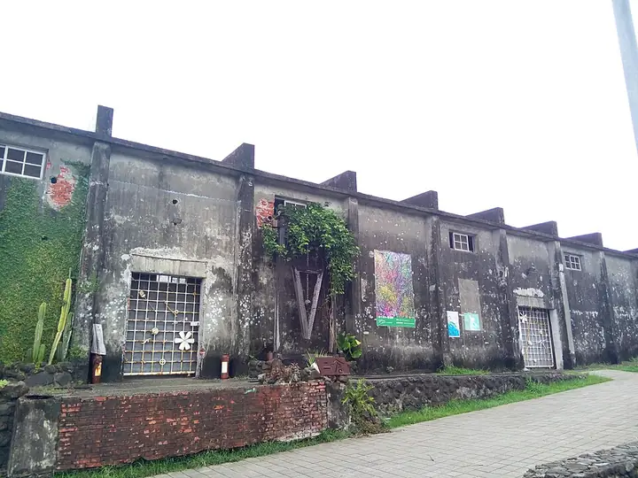
Photo adjustments
Full-frame source proportionally resized and converted to WebP for display. No subject alteration. Source-supplied marks and edits remain; cards may crop the view.
- Administrative area
- Rural township · 鄉
- Part of
- Taitung County
- Chinese name
- 東河鄉
- Local areas
- Rural township guide
Area & population
- Area in the source
- 210.00 km²
Source: cited geographic source, as of the dates shown.
History
Dulan's name derives from A'tolan, the Amis term for places where stones were piled after clearing farmland. The coastal highway divides the village into upper and lower settlements. Dulan Archaeological Site (都蘭遺址) preserves evidence of people who lived here in prehistoric times, including objects they used.
What to see
Xindong Sugar Factory (新東糖廠) houses the Brown Sugar Culture and Art Centre (紅糖文化藝術館). At Xinlan Fishing Harbour (新蘭漁港), a red lighthouse stands beside the small port in Dulan Bay (都蘭灣). The harbour has a coastal path and views towards Green Island (綠島) and Mount Dulan (都蘭山).
Sources for this guide
都蘭-東部海岸國家風景區觀光資訊網 · East Coast National Scenic Area Administration
都蘭部落-東部海岸國家風景區觀光資訊網 · East Coast National Scenic Area Administration
Original English written from the listed sources and checked sentence by sentence against quoted extracts by a separate reviewer. Updated 2026-09-27.
Explore Donghe Township
Core places to explore, with English and Chinese names.
Places to explore around Donghe Township
Plan your visit
Getting there
Donghe Township is about 35 km in a straight line from central Taitung County. Search for 東河鄉 in a map app to find stations and your accommodation.
Where to stay →Build your route
Start with Dulan Amis Village. The linked place guides have entrance and visit details.
Continue with Taitung County →More in Taitung County
Sources & geographic information
Administrative names and parent areas: Official geographic directory · Reference date 2026-09-06.
Photo: Dulan Amis Village · Eric Deng · CC BY-SA 4.0. Full-frame source proportionally resized and converted to WebP for display. No subject alteration. Source-supplied marks and edits remain; cards may crop the view.

Map data © OpenStreetMap contributors. Pins mark approximate centres, not entrances or boundaries.