


Get to know Yangbi Yi Autonomous County
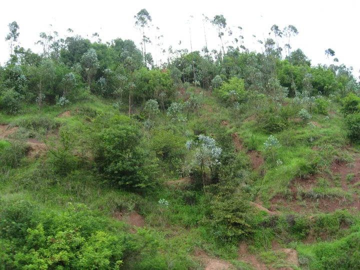
Photo adjustments
Full frame retained; proportionally resized and converted to WebP. No retouching or changes to the photographed subject. Card displays may crop the view.
- Administrative area
- Autonomous county · 自治县
- Part of
- Dali Bai Autonomous Prefecture
- Chinese name
- 漾濞彝族自治县
- Local areas
- Autonomous county guide
Area & population
- Area in the source
- 1,957.00 km²
- Population · 2020 census
- 97,610
- Administrative seat
- Cangshanxi
Source: cited geographic source, as of the dates shown.
Cliffs and religious buildings
The scenic area includes an elevated glass walkway as well as Fuguo Temple (福国寺), Jin’an Temple (金鞍寺) and Yuhuang Pavilion (玉皇阁). The Ming-era traveller Xu Xiake (徐霞客) described the paired cliffs and the mountain scenery visible between them during his visit.
Guangming Village in the trees
Guangming Village (光明村), on Cangshan’s western slope (苍山西坡), forms the scenic area’s northern entrance. Walnut groves surround its houses. Local Yi hospitality includes sandao mi (三道蜜), or three honey preparations: honey-and-walnut tea, buckwheat cakes dipped in honey, and walnuts dipped in honey. The last is served as a welcome to honoured guests, with a bowl of honey beside a plate of walnuts.
Sources for this guide
石门关(4A) - 大理白族自治州人民政府 · Dali Bai Autonomous Prefecture Government
Original English written from the listed sources and checked sentence by sentence against quoted extracts by a separate reviewer. Updated 2026-09-27.
Explore Yangbi Yi Autonomous County
Core places to explore, with English and Chinese names.
Places to explore around Yangbi Yi Autonomous County
 AI illustration · AI
 Plan your visit
Getting there
Yangbi Yi Autonomous County is about 35 km in a straight line from central Dali Bai Autonomous Prefecture. Search for 漾濞彝族自治县 in a map app to find stations and your accommodation.
Where to stay →Build your route
Start with Shimenguan Canyon. The linked place guides have entrance and visit details.
Continue with Dali Bai Autonomous Prefecture →More in Dali Bai Autonomous Prefecture
Sources & geographic information
Administrative names and parent areas: Official geographic directory · Reference date 2026-09-06.
Map data © OpenStreetMap contributors. Pins mark approximate centres, not entrances or boundaries.