


Get to know Yongping County
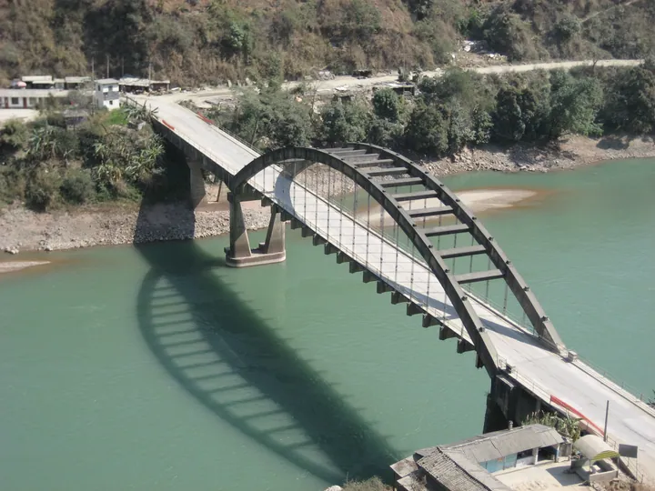
Photo adjustments
Full frame retained; proportionally resized and converted to WebP. No retouching or changes to the photographed subject. Card displays may crop the view.
- Administrative area
- County · 县
- Part of
- Dali Bai Autonomous Prefecture
- Chinese name
- 永平县
- Local areas
- County guide
Area & population
- Area in the source
- 2,884.00 km²
- Population · 2020 census
- 164,613
Source: cited geographic source, as of the dates shown.
Courtyards within a courtyard
The residence follows a four-sided, five-courtyard arrangement with galleries turning around its corners. A fortified tower stands at the northwest corner, while a leisure courtyard lies before the southeastern wing. The main buildings use the western Yunnan layout called liuhe tongchun (六合同春). Smaller courts sit within the larger compound, with main rooms, side wings and kitchens arranged separately.
Painted walls and a new use
Gates, gatehouses and the tower form carefully planned parts of the complex. Ink-painted cloud and ruyi patterns decorate the gable walls, and trees and flowers fill the garden. The building was adapted in 2020 to combine accommodation, dining and leisure uses while retaining its historic courtyard setting.
Sources for this guide
从曲硐古道•拾光温泉民宿发展看永平文物活化利用 - 永平县人民政府 · Yongping County Government
Original English written from the listed sources and checked sentence by sentence against quoted extracts by a separate reviewer. Updated 2026-09-27.
Explore Yongping County
Core places to explore, with English and Chinese names.
Places to explore around Yongping County
 Baotai Mountain ·
 Plan your visit
Getting there
Yongping County is about 75 km in a straight line from central Dali Bai Autonomous Prefecture. Search for 永平县 in a map app to find stations and your accommodation.
Where to stay →Build your route
Start with Baotai Mountain. The linked place guides have entrance and visit details.
Continue with Dali Bai Autonomous Prefecture →More in Dali Bai Autonomous Prefecture
Sources & geographic information
Administrative names and parent areas: Official geographic directory · Reference date 2026-09-06.
Photo: Baotai Mountain · Source photographer · License not provided. EXIF orientation normalized; resized without changing aspect ratio; converted to WebP. No subject edits.
Map data © OpenStreetMap contributors. Pins mark approximate centres, not entrances or boundaries.