


Get to know Luliang County
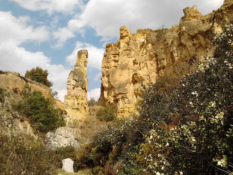
Photo adjustments
Full frame retained; EXIF orientation normalized, proportionally resized to at most 800 pixels and converted to WebP. No generated pixels or subject changes. Cards may crop the display.
- Administrative area
- County · 县
- Part of
- Qujing
- Chinese name
- 陆良县
- Local areas
- County guide
Area & population
- Area in the source
- 2,096.00 km²
Source: cited geographic source, as of the dates shown.
The plateau basin
The county averages 1,840 metres in elevation. Its flat basin area covers about 772 square kilometres, accounting for more than a third of the county. Luliang borders Luoping (罗平) to the east and Yiliang (宜良) to the west; Shizong (师宗), Luxi (泸西) and Shilin (石林) lie along its southern side.
Cuan heritage and the sand forest
The Cuan Longyan Stele (爨龙颜碑) and Dajue Temple (大觉寺), founded in the Yuan dynasty, are nationally protected cultural heritage sites. They are associated with the county’s Cuan cultural heritage (爨文化) and calligraphy traditions. At the Colourful Sand Forest (彩色沙林), multicoloured sand peaks and pillars form an unusual geological landscape.
Sources for this guide
陆良简述-陆良县人民政府办公室-陆良县人民政府网,陆良县人民政府,陆良县政府,云南省曲靖市陆良县人民政府网 · Luliang County Government
陆良县举行首届沙画艺术节暨爨文化旅游节新闻发布会 - 县区动态 - 曲靖市人民政府门户网 · Qujing Municipal Government
Original English written from the listed sources and checked sentence by sentence against quoted extracts by a separate reviewer. Updated 2026-09-30.
Explore Luliang County
Core places to explore, with English and Chinese names.
Places to explore around Luliang County
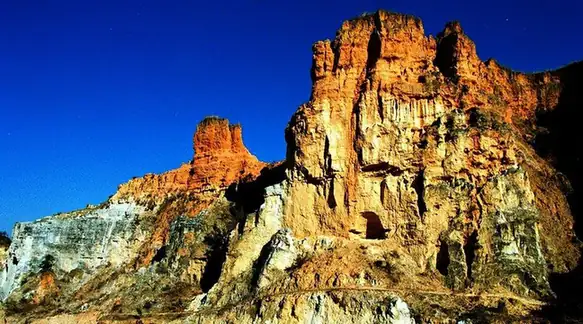 Luliang Colourful Sand Forest ·
 Plan your visit
Getting there
Luliang County is about 50 km in a straight line from central Qujing. Search for 陆良县 in a map app to find stations and your accommodation.
Where to stay →Build your route
Start with Luliang Colourful Sand Forest. The linked place guides have entrance and visit details.
Continue with Qujing →More in Qujing
Sources & geographic information
Administrative names and parent areas: Official geographic directory · Reference date 2026-09-06.
Photo: Luliang Colourful Sand Forest · Source photographer · License not provided. EXIF orientation normalized; resized without changing aspect ratio; converted to WebP. No subject edits.
Map data © OpenStreetMap contributors. Pins mark approximate centres, not entrances or boundaries.