


Get to know Zhanyi District
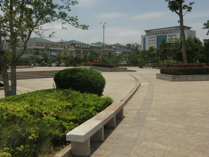
Photo adjustments
Full frame retained; proportionally resized and converted to WebP. No retouching or changes to the photographed subject. Card displays may crop the view.
- Administrative area
- District · 市辖区
- Part of
- Qujing
- Chinese name
- 沾益区
- Local areas
- District guide
Area & population
- Area in the source
- 2,096.00 km²
Source: cited geographic source, as of the dates shown.
The river source and cave
Pearl River Source Scenic Area (珠江源风景区), on Maxiong Mountain (马雄山), is 53 kilometres from Zhanyi’s urban centre. It includes Zhuyuan Cave (珠源洞), Sanjiang Pavilion (三江亭) and a display hall for ancient fish fossils. Caiyun Cave (彩云洞), seventeen kilometres from the source scenic area, contains stalactites and stalagmites within a karst cave system.
Railway memory and village displays
Station Memory (车站记忆) is a theme park adapted from an old railway station, with railway tracks, carriage dining spaces, sculptures and historic photographs. Hongwafang Village (红瓦房) has the Zhuyuan Plaque Culture Museum (珠源牌匾文化博物馆), where plaque culture sits alongside activities such as tile-end rubbings and paper cutting.
Sources for this guide
沾益概况-曲靖市沾益区人民政府-沾益区人民政府网,沾益区人民政府,沾益区政府,云南省曲靖市沾益区人民政府网 · Zhanyi District Government
沾益全域旅游指南-曲靖市沾益区人民政府-沾益区人民政府网,沾益区人民政府,沾益区政府,云南省曲靖市沾益区人民政府网 · Zhanyi District Government
Original English written from the listed sources and checked sentence by sentence against quoted extracts by a separate reviewer. Updated 2026-09-30.
Explore Zhanyi District
Core places to explore, with English and Chinese names.
Places to explore around Zhanyi District
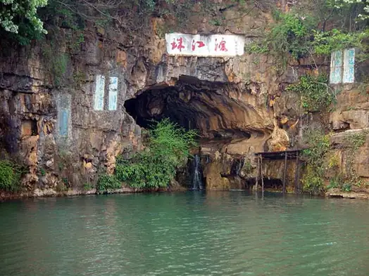 Source of the Pearl River ·
 Plan your visit
Getting there
Zhanyi District is about 10 km in a straight line from central Qujing. Search for 沾益区 in a map app to find stations and your accommodation.
Where to stay →Build your route
Start with Source of the Pearl River. The linked place guides have entrance and visit details.
Continue with Qujing →More in Qujing
Sources & geographic information
Administrative names and parent areas: Official geographic directory · Reference date 2026-09-06.
Photo: Source of the Pearl River · Gandhara-Bactria-Centralasia · CC BY-SA 4.0. EXIF orientation normalized; resized without changing aspect ratio; converted to WebP. No subject edits.

Map data © OpenStreetMap contributors. Pins mark approximate centres, not entrances or boundaries.