


Get to know Funing County
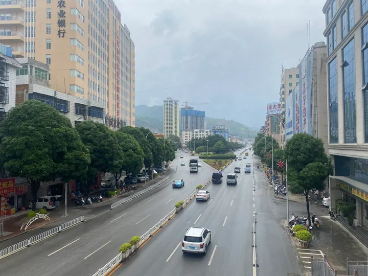
Photo adjustments
Full frame retained; proportionally resized and converted to WebP. No retouching or changes to the photographed subject. Card displays may crop the view.
- Administrative area
- County · 县
- Part of
- Wenshan Zhuang and Miao Autonomous Prefecture
- Chinese name
- 富宁县
- Local areas
- County guide
Area & population
- Area in the source
- 5,352.00 km²
- Population · 2020 census
- 396,818
Source: cited geographic source, as of the dates shown.
Bo’ai and its rivers
Bo’ai is 75 kilometres from the county town. The Yunnan–Guangxi Railway (云桂铁路), Guangzhou–Kunming Expressway (广昆高速) and National Road 323 pass through it, and the town adjoins Funing Port (富宁港). The Nama River (那马河), Gula River (谷拉河) and Tuoniang River (驮娘江) run through the township; impoundment by the Baise (百色) water project created a large reservoir area.
Songs recorded in pictures
Poya is a Zhuang village with raised houses and pale-yellow earthen walls. Its songbook uses eighty-one pictorial symbols, each representing a love song. Images such as a moon, stars, trees, rice leaves and ploughs were drawn onto white homespun cloth using cactus juice. The complete sequence follows a young couple from their first meeting through courtship to a lifelong promise.
Sources for this guide
剥隘镇 - 富宁县人民政府 · Funing County Government; Bo’ai Town Government
富宁壮族文化瑰宝——坡芽山歌 - 富宁县人民政府 · Funing County Government
Original English written from the listed sources and checked sentence by sentence against quoted extracts by a separate reviewer. Updated 2026-09-30.
Explore Funing County
Core places to explore, with English and Chinese names.
Funing County 富宁县
Plan your visit
Getting there
Funing County is about 145 km in a straight line from central Wenshan Zhuang and Miao Autonomous Prefecture. Search for 富宁县 in a map app to find stations and your accommodation.
Where to stay →More in Wenshan Zhuang and Miao Autonomous Prefecture
Sources & geographic information
Administrative names and parent areas: Official geographic directory · Reference date 2026-09-06.
Map data © OpenStreetMap contributors. Pins mark approximate centres, not entrances or boundaries.