


Get to know Malipo County
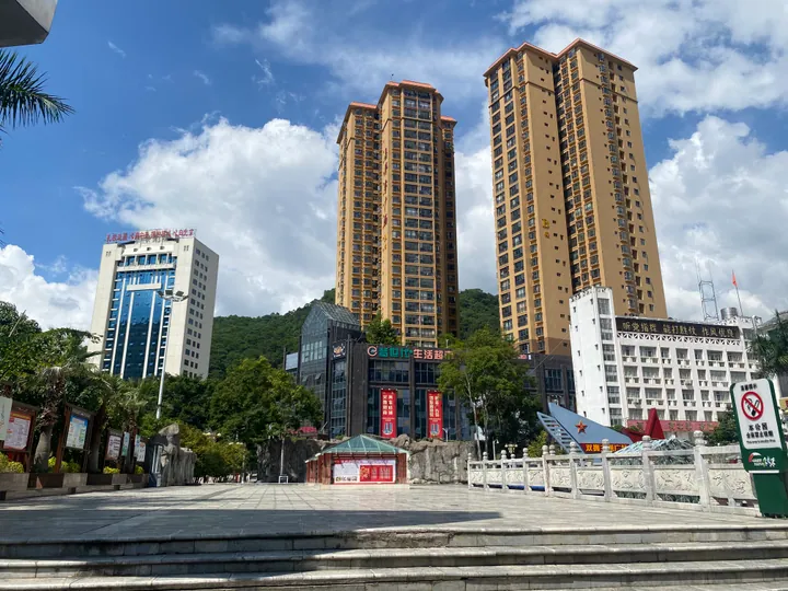
Photo adjustments
Full frame retained; proportionally resized and converted to WebP. No retouching or changes to the photographed subject. Card displays may crop the view.
- Administrative area
- County · 县
- Part of
- Wenshan Zhuang and Miao Autonomous Prefecture
- Chinese name
- 麻栗坡县
- Local areas
- County guide
Area & population
- Area in the source
- 2,395.00 km²
- Population · 2020 census
- 243,587
Source: cited geographic source, as of the dates shown.
Mountains and the border
The county lies between Maguan (马关), Xichou (西畴), Guangnan (广南) and Funing (富宁), with Vietnam to its south. Tianbao Port (天保口岸) is a land crossing 34 kilometres from the county town. Much of Malipo is karst, with moist conditions and marked changes in climate with elevation. The county names Laoshan and Laojunshan (老君山) as provincial nature reserves.
Laoshan memory and village dance
Malipo’s account of its past gives particular weight to the border fighting of the 1970s and 1980s and the associated Laoshan spirit of dedication. A different strand of local heritage survives at Chengzhai Village (城寨村), where the Bailuo (白倮) branch of the Yi people (彝族) preserves a copper-drum dance listed as national intangible cultural heritage.
Sources for this guide
麻栗坡概况 - 麻栗坡县人民政府 · Malipo County Government
云南省人民政府驻上海办事处 · Yunnan Provincial Government Shanghai Office
Original English written from the listed sources and checked sentence by sentence against quoted extracts by a separate reviewer. Updated 2026-09-30.
Explore Malipo County
Core places to explore, with English and Chinese names.
Places to explore around Malipo County
 AI illustration · AI
 Plan your visit
Getting there
Malipo County is about 60 km in a straight line from central Wenshan Zhuang and Miao Autonomous Prefecture. Search for 麻栗坡县 in a map app to find stations and your accommodation.
Where to stay →Build your route
Start with Laoshan Patriotic Education Base. The linked place guides have entrance and visit details.
Continue with Wenshan Zhuang and Miao Autonomous Prefecture →More in Wenshan Zhuang and Miao Autonomous Prefecture
Sources & geographic information
Administrative names and parent areas: Official geographic directory · Reference date 2026-09-06.
Map data © OpenStreetMap contributors. Pins mark approximate centres, not entrances or boundaries.