


Get to know Maguan County
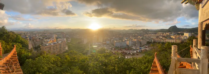
Photo adjustments
Full frame retained; proportionally resized and converted to WebP. No retouching or changes to the photographed subject. Card displays may crop the view.
- Administrative area
- County · 县
- Part of
- Wenshan Zhuang and Miao Autonomous Prefecture
- Chinese name
- 马关县
- Local areas
- County guide
Area & population
- Area in the source
- 2,767.00 km²
- Population · 2020 census
- 318,704
Source: cited geographic source, as of the dates shown.
Border landmarks
The old name Mabaiguan (马白关) recalls the county’s frontier role. Maguan’s watchtowers are associated with the Sino-French War, while the Maoping border gate (茅坪国门) is built of stone. National highways G219 and G248 cross the county, connecting its mountainous border landscape.
Village art and forest scenery
A’e Zhuang farmer woodcuts (阿峨壮族农民版画) use knives and wooden blocks to make prints. Ancient Nongren (侬人) music at Masa (马洒侬人古乐) and silverworking are other recorded local traditions. Masa Village (马洒村) is a Zhuang settlement with more than four centuries of history and forest surroundings. The county’s plant survey records diverse vegetation, including tree ferns and dipterocarp forest trees.
Sources for this guide
马关县动物、植物、水能、矿产等自然资源概述 - 马关县人民政府 · Maguan County Government
马关:世界铟都 艺术边城 - 马关县人民政府 · Maguan County Government
Original English written from the listed sources and checked sentence by sentence against quoted extracts by a separate reviewer. Updated 2026-09-30.
Explore Maguan County
Core places to explore, with English and Chinese names.
Maguan County 马关县
Plan your visit
Getting there
Maguan County is about 45 km in a straight line from central Wenshan Zhuang and Miao Autonomous Prefecture. Search for 马关县 in a map app to find stations and your accommodation.
Where to stay →More in Wenshan Zhuang and Miao Autonomous Prefecture
Sources & geographic information
Administrative names and parent areas: Official geographic directory · Reference date 2026-09-06.
Map data © OpenStreetMap contributors. Pins mark approximate centres, not entrances or boundaries.