


Get to know Eshan Yi Autonomous County
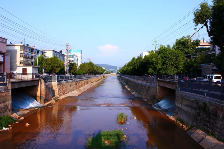
Photo adjustments
Full frame retained; proportionally resized and converted to WebP. No retouching or changes to the photographed subject. Card displays may crop the view.
- Administrative area
- Autonomous county · 自治县
- Part of
- Yuxi
- Chinese name
- 峨山彝族自治县
- Local areas
- Autonomous county guide
Area & population
- Area in the source
- 1,114.00 km²
- Population · 2020 census
- 143,903
- Administrative seat
- Shuangjiang Subdistrict
Source: cited geographic source, as of the dates shown.
Mountain country and old names
The county has many mountains around 2,000 metres in elevation, with marked changes in climate by elevation. It adjoins Hongta (红塔) and Tonghai (通海) to the east, and faces Shuangbai (双柏) across the Lvzhi River (绿汁江) to the northwest. Xie’e County (嶍峨县) was established here in 1289. National Road 213 and the Kunming–Mohan Expressway (昆磨高速公路) run north–south through the county.
Dance and craft traditions
Yi flower-drum dance (彝族花鼓舞) is a nationally listed intangible heritage tradition. Xie’e Ancient Town (嶍峨古镇) forms a focus for the county’s cultural tourism, linked with Yuncha Mountain Villa (云茶山庄) and the large bamboo forest known as Wanmu Zhuhai (万亩竹海). The county’s heritage plans also include flower-drum dance, embroidery, four-string music and carving.
Explore Eshan Yi Autonomous County
Core places to explore, with English and Chinese names.
Eshan Yi Autonomous County 峨山彝族自治县
Plan your visit
Getting there
Eshan Yi Autonomous County is about 25 km in a straight line from central Yuxi. Search for 峨山彝族自治县 in a map app to find stations and your accommodation.
Where to stay →More in Yuxi
Sources & geographic information
Administrative names and parent areas: Official geographic directory (dmfw.mca.gov.cn) · Reference date 2026-09-06.
Map data © OpenStreetMap contributors. Pins mark approximate centres, not entrances or boundaries.