


Get to know Anding District
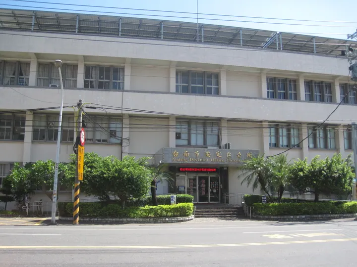
Photo adjustments
Full frame retained; proportionally resized and converted to WebP. No retouching or changes to the photographed subject. Card displays may crop the view.
- Administrative area
- District · 區
- Part of
- Tainan City
- Chinese name
- 安定區
- Local areas
- District guide
Area & population
- Area in the source
- 31.27 km²
Source: cited geographic source, as of the dates shown.
From a harbour to fields
The district office traces this change to flooding of the Zengwen River (曾文溪) in 1823, when a changed river course carried sediment into Taijiang. The former fishing port of Tackalan (直加弄) gradually became an agricultural settlement. Names such as Gangkou (港口), meaning harbour entrance, preserve the area’s maritime past.
Crops and temple ceremonies
Sesame, asparagus, soapberries and watermelons are among Anding’s characteristic products. In Sucuo (蘇厝), Changxing Temple (長興宮) and Zhenhu Temple (真護宮) hold boat-burning ceremonies on a three-year cycle. A district-office film released in 2016 recorded the ritual from aerial and ground viewpoints, alongside local daily life and the district’s natural and cultural scenery.
Sources for this guide
臺南市安定區公所全球資訊網-歷史沿革 · Tainan City Anding District Office
臺南市安定區公所全球資訊網-幸福安定 安定幸福國語版 · Tainan City Anding District Office
Original English written from the listed sources and checked sentence by sentence against quoted extracts by a separate reviewer. Updated 2026-09-27.
Explore Anding District
Core places to explore, with English and Chinese names.
Anding District 安定區
Plan your visit
Getting there
Anding District is about 15 km in a straight line from central Tainan City. Search for 安定區 in a map app to find stations and your accommodation.
Where to stay →More in Tainan City
Sources & geographic information
Administrative names and parent areas: Official geographic directory · Reference date 2026-09-06.
Map data © OpenStreetMap contributors. Pins mark approximate centres, not entrances or boundaries.