


Get to know Dongshan District
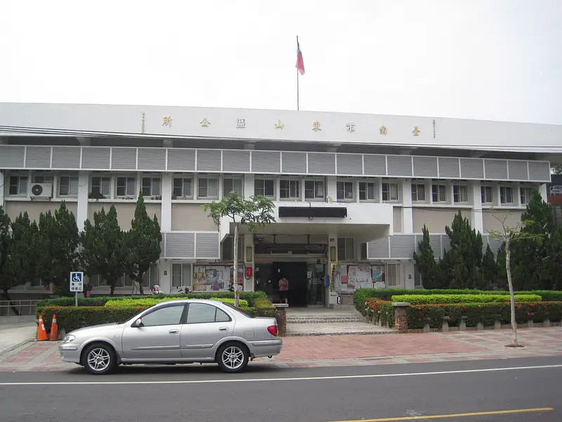
Photo adjustments
EXIF orientation normalized; resized without changing aspect ratio; converted to WebP. No subject edits.
- Administrative area
- District · 區
- Part of
- Tainan City
- Chinese name
- 東山區
- Local areas
- District guide
Area & population
- Area in the source
- 124.98 km²
Source: cited geographic source, as of the dates shown.
Coffee on the hillside road
Siraya National Scenic Area Administration (西拉雅國家風景區管理處) recommends Road 175 for local Dongshan coffee and hillside scenery. Shiguo’s coffee hall sells coffee beans and serves lattes and snacks.
A rice warehouse reused
Shiguo Cultural Park occupies a Japanese-period rice warehouse and mill, with buildings arranged like a three-sided courtyard house. Its coffee hall offers roasting and pour-over experiences. The rice hall displays machinery and artefacts from the old mill, accompanied by historical material on local rice culture. A third hall gathers Dongshan agricultural products, including coffee, longans, dried fruit and rice foods. Outdoor installations stand among landscaping and trees that bear pink flowers in March and April.
Sources for this guide
十果文創園區 | 西拉雅國家風景區管理處 · Siraya National Scenic Area Administration
與風追逐在175東山咖啡公路 | 西拉雅國家風景區管理處 · Siraya National Scenic Area Administration
Original English written from the listed sources and checked sentence by sentence against quoted extracts by a separate reviewer. Updated 2026-09-27.
Explore Dongshan District
Core places to explore, with English and Chinese names.
Dongshan District 東山區
Plan your visit
Getting there
Dongshan District is about 40 km in a straight line from central Tainan City. Search for 東山區 in a map app to find stations and your accommodation.
Where to stay →More in Tainan City
Sources & geographic information
Administrative names and parent areas: Official geographic directory · Reference date 2026-09-06.
Map data © OpenStreetMap contributors. Pins mark approximate centres, not entrances or boundaries.