


Get to know Madou District
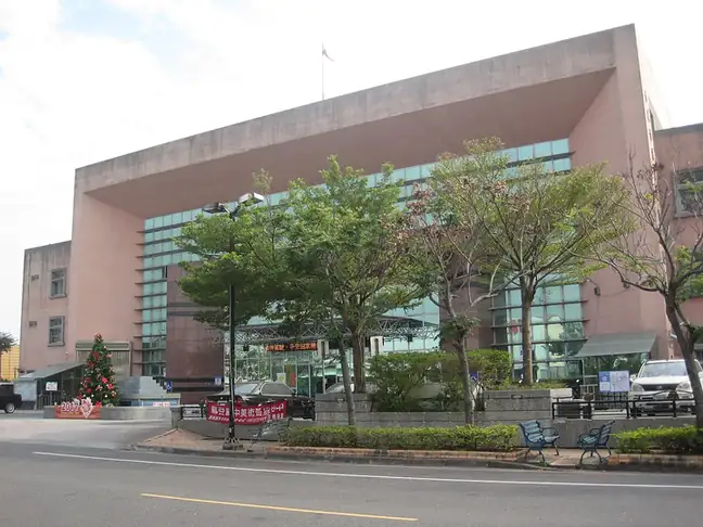
Photo adjustments
EXIF orientation normalized; resized without changing aspect ratio; converted to WebP. No subject edits.
- Administrative area
- District · 區
- Part of
- Tainan City
- Chinese name
- 麻豆區
- Local areas
- District guide
Area & population
- Area in the source
- 54.00 km²
Source: cited geographic source, as of the dates shown.
The old port
At Madou Ancient Port Cultural Park (蔴荳古港文化園區), Shuitou Harbour (水堀頭港) once linked the Daofeng Inland Sea (倒風內海) directly with Fujian (福建). Sugar and deer hides were exported here. Silting waterways and a westward shift of the coastline eventually altered the port, leaving parts of its quay and old waterway. Excavated ship nails provide another trace of maritime activity.
Art beneath the trees
Zongye has an orange-yellow torii gate, shaded avenues and lawns. Its red building and timber factory manager’s residence retain a Japanese character. Other buildings among the trees have become artists’ workshops and exhibition spaces, placing contemporary work within the leafy grounds.
Sources for this guide
蔴荳古港文化園區-台南旅遊網 · Tourism Bureau of Tainan City Government
總爺藝文中心-台南旅遊網 · Tourism Bureau of Tainan City Government
Original English written from the listed sources and checked sentence by sentence against quoted extracts by a separate reviewer. Updated 2026-09-27.
Explore Madou District
Core places to explore, with English and Chinese names.
Madou District 麻豆區
Plan your visit
Getting there
Madou District is about 20 km in a straight line from central Tainan City. Search for 麻豆區 in a map app to find stations and your accommodation.
Where to stay →More in Tainan City
Sources & geographic information
Administrative names and parent areas: Official geographic directory · Reference date 2026-09-06.
Map data © OpenStreetMap contributors. Pins mark approximate centres, not entrances or boundaries.