


Get to know Liouying District
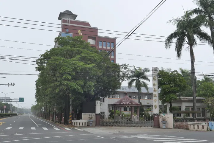
Photo adjustments
Full frame retained; proportionally resized and converted to WebP. No retouching or changes to the photographed subject. Card displays may crop the view.
- Administrative area
- District · 區
- Part of
- Tainan City
- Chinese name
- 柳營區
- Local areas
- District guide
Area & population
- Area in the source
- 61.00 km²
Source: cited geographic source, as of the dates shown.
Artists and family houses
The Liu Qixiang Art Memorial Hall (劉啟祥美術紀念館) presents the painter’s work in a residence blending Japanese and Western styles. The Liu Family Old House (劉家古厝) offers a contrasting traditional Fujian courtyard setting. The Wu Jinhuai Music Memorial Hall (吳晉淮音樂紀念館) introduces another figure in the district’s artistic history.
Dairy fields and ponds
In the Baweng dairy-farming area (八翁酪農區), Dairy Cow’s Home (乳牛的家) offers milking experiences and animal encounters. Deyuanpi Holland Village (德元埤荷蘭村) combines ponds and wetland habitat with a Dutch rural theme, including a windmill. Local food shops use fresh milk in douhua (豆花), filled buns and mantou (饅頭).
Sources for this guide
春遊柳營,來酪農業重鎮慢慢玩-台南旅遊網 · Tourism Bureau of Tainan City Government
Original English written from the listed sources and checked sentence by sentence against quoted extracts by a separate reviewer. Updated 2026-09-27.
Explore Liouying District
Core places to explore, with English and Chinese names.
Liouying District 柳營區
Plan your visit
Getting there
Liouying District is about 35 km in a straight line from central Tainan City. Search for 柳營區 in a map app to find stations and your accommodation.
Where to stay →More in Tainan City
Sources & geographic information
Administrative names and parent areas: Official geographic directory · Reference date 2026-09-06.
Map data © OpenStreetMap contributors. Pins mark approximate centres, not entrances or boundaries.