


Get to know Baihe District
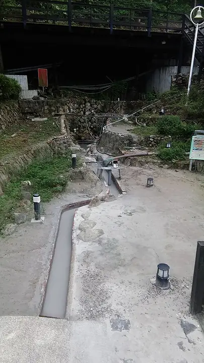
Photo adjustments
Full-frame source proportionally resized and converted to WebP for display. No subject alteration. Source-supplied marks and edits remain; cards may crop the view.
- Administrative area
- District · 區
- Part of
- Tainan City
- Chinese name
- 白河區
- Local areas
- District guide
Area & population
- Area in the source
- 126.00 km²
Source: cited geographic source, as of the dates shown.
Springs and old buildings
Guanziling’s old street retains red lanterns and the Japanese-style exterior of the Guanziling Hotel (關子嶺大旅社). Baoquan Bridge (寶泉橋) overlooks one of the hot-spring sources. A climb of nearly 300 steps up Haohan Slope (好漢坡) reaches Lingding Park (嶺頂公園), with views across the Jianan Plain (嘉南平原). Its visitor information station occupies a converted hall formerly used to honour Confucius.
Maples and butterflies
Hongye Park (紅葉公園) has a northern entrance marked by a red-lizard arch beside the old street. Its central path connects the street and a hilltop viewing platform, with maples planted along the way. Butterfly-attracting plants help provide habitat for purple crow butterflies and other species. Smaller paths branch through the park.
Sources for this guide
關子嶺溫泉 | 西拉雅國家風景區管理處 · Siraya National Scenic Area Administration
紅葉公園 | 西拉雅國家風景區管理處 · Siraya National Scenic Area Administration
Original English written from the listed sources and checked sentence by sentence against quoted extracts by a separate reviewer. Updated 2026-09-27.
Explore Baihe District
Core places to explore, with English and Chinese names.
Places to explore around Baihe District
Plan your visit
Getting there
Baihe District is about 45 km in a straight line from central Tainan City. Search for 白河區 in a map app to find stations and your accommodation.
Where to stay →Build your route
Start with Guanziling Hot Springs. The linked place guides have entrance and visit details.
Continue with Tainan City →More in Tainan City
Sources & geographic information
Administrative names and parent areas: Official geographic directory · Reference date 2026-09-06.
Photo: Guanziling Hot Springs · Kamakura · CC BY-SA 4.0. Full-frame source proportionally resized and converted to WebP for display. No subject alteration. Source-supplied marks and edits remain; cards may crop the view.

Map data © OpenStreetMap contributors. Pins mark approximate centres, not entrances or boundaries.