


Get to know Xinying District
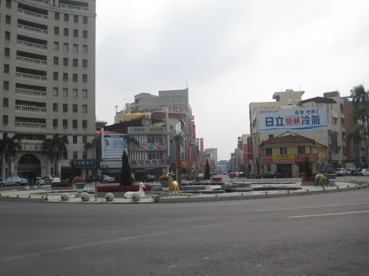
Photo adjustments
Full frame retained; proportionally resized and converted to WebP. No retouching or changes to the photographed subject. Card displays may crop the view.
- Administrative area
- District · 區
- Part of
- Tainan City
- Chinese name
- 新營區
- Local areas
- District guide
Area & population
- Area in the source
- 38.54 km²
Source: cited geographic source, as of the dates shown.
Swan Lake
The lake was originally called Piliaopi (埤寮埤) and supplied water to nearby farmland. A timber boardwalk circles the water, with views of arched bridges and lotus flowers along the shore. Green lakeside areas are used for picnics and family walks. The park also has a children’s water-play area and fountains.
A Hakka meeting place
The cultural hall occupies two former county-government buildings in central Xinying. Renovated with county and Hakka Affairs Council support, it opened in 2007. Its interior presents a Hakka character, while the hall serves as a place for cultural promotion, community services and learning activities.
Sources for this guide
天鵝湖公園(舊名埤寮埤)-台南旅遊網 · Tourism Bureau of Tainan City Government
臺南市南瀛客家文化會館-台南旅遊網 · Tourism Bureau of Tainan City Government
Original English written from the listed sources and checked sentence by sentence against quoted extracts by a separate reviewer. Updated 2026-09-27.
Explore Xinying District
Core places to explore, with English and Chinese names.
Xinying District 新營區
Plan your visit
Getting there
Xinying District is about 40 km in a straight line from central Tainan City. Search for 新營區 in a map app to find stations and your accommodation.
Where to stay →More in Tainan City
Sources & geographic information
Administrative names and parent areas: Official geographic directory · Reference date 2026-09-06.
Map data © OpenStreetMap contributors. Pins mark approximate centres, not entrances or boundaries.