


Get to know Danei District
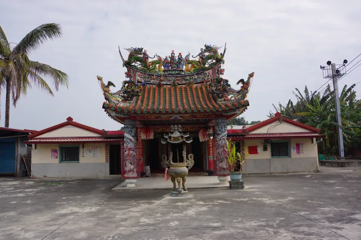
Photo adjustments
Full frame retained; proportionally resized and converted to WebP. No retouching or changes to the photographed subject. Card displays may crop the view.
- Administrative area
- District · 區
- Part of
- Tainan City
- Chinese name
- 大內區
- Local areas
- District guide
Area & population
- Area in the source
- 70.00 km²
Source: cited geographic source, as of the dates shown.
River bends and astronomy
Tsou Ma Lai Farm (走馬瀨農場) occupies a river-valley terrace surrounded by mountains on three sides. The Zengwen River’s bends and eroded terrain can also be seen from Nanying Astronomical Education Area (南瀛天文教育園區). Its three principal buildings house astronomical observation, exhibitions and a planetarium.
Chicken broth and avocado pastries
In Toushe (頭社), cizai chicken (刺仔雞) is a Siraya (西拉雅族) dish made with a thorny plant. Sliced stems and roots are dried and simmered for more than four hours to make the broth; chicken and medicinal ingredients are then added. Danei also produces avocados. Baker Pan Fuyuan (潘富源) developed avocado pastries (酪梨酥) at Yangdi Bakery (揚帝囍餅蛋糕店), beside the local fruit market.
Sources for this guide
區公所-大內區 -風景名勝 · Tainan City Danei District Office
區公所-大內區 -地方特產 · Tainan City Danei District Office
Original English written from the listed sources and checked sentence by sentence against quoted extracts by a separate reviewer. Updated 2026-09-27.
Explore Danei District
Core places to explore, with English and Chinese names.
Danei District 大內區
Plan your visit
Getting there
Danei District is about 30 km in a straight line from central Tainan City. Search for 大內區 in a map app to find stations and your accommodation.
Where to stay →More in Tainan City
Sources & geographic information
Administrative names and parent areas: Official geographic directory · Reference date 2026-09-06.
Map data © OpenStreetMap contributors. Pins mark approximate centres, not entrances or boundaries.