


Get to know Guanmiao District
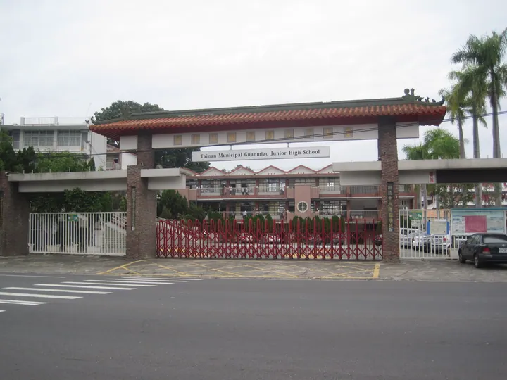
Photo adjustments
Full frame retained; proportionally resized and converted to WebP. No retouching or changes to the photographed subject. Card displays may crop the view.
- Administrative area
- District · 區
- Part of
- Tainan City
- Chinese name
- 關廟區
- Local areas
- District guide
Area & population
- Area in the source
- 54.00 km²
Source: cited geographic source, as of the dates shown.
Pineapples, bamboo shoots and noodles
Pineapple fields and green bamboo grow on the district’s hillsides. Pineapples, bamboo shoots and Guanmiao noodles (關廟麵) became its promoted trio of local products in 1997. The noodles are dried in sunlight and have a firm, springy texture. Local dishes also include pineapple chicken, lu noodles (魯麵) and rice cakes (米粿).
Temples, water and woodland
Guanmiao Shanxi Temple (關廟山西宮) is a local centre of worship. At Datanpi Wanglai Park (大潭埤旺萊公園), water and bamboo form part of the landscape. Guanmiao Forest Park (關廟森林公園) contains 60 hectares of sweetgum with autumn-red leaves. The neighbouring Kagome Farm (可果美農場) has 100 hectares planted with trees including araucaria and mahogany.
Sources for this guide
臺南市關廟區公所-自然環境 · Tainan City Guanmiao District Office
臺南市關廟區公所-關廟區特色介紹 · Tainan City Guanmiao District Office
Original English written from the listed sources and checked sentence by sentence against quoted extracts by a separate reviewer. Updated 2026-09-27.
Explore Guanmiao District
Core places to explore, with English and Chinese names.
Guanmiao District 關廟區
Plan your visit
Getting there
Guanmiao District is about 15 km in a straight line from central Tainan City. Search for 關廟區 in a map app to find stations and your accommodation.
Where to stay →More in Tainan City
Sources & geographic information
Administrative names and parent areas: Official geographic directory · Reference date 2026-09-06.
Map data © OpenStreetMap contributors. Pins mark approximate centres, not entrances or boundaries.