


Get to know Nanhua District
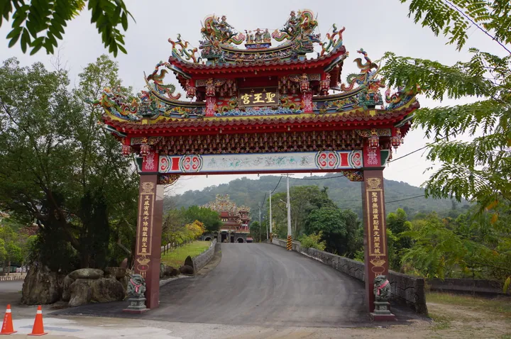
Photo adjustments
Full frame retained; proportionally resized and converted to WebP. No retouching or changes to the photographed subject. Card displays may crop the view.
- Administrative area
- District · 區
- Part of
- Tainan City
- Chinese name
- 南化區
- Local areas
- District guide
Area & population
- Area in the source
- 172.00 km²
Source: cited geographic source, as of the dates shown.
Nanhua Reservoir
Nanhua Reservoir (南化水庫) supplies water to Tainan. Below its dam lies the old Tapani battlefield (噍吧哖古戰場), with military-history, environmental and waterside parks collectively called Yuan Zhi Lu Recreation Park (源之旅休閒公園). Road South 179 (南179市道) follows the reservoir towards Guanshan Village (關山里), where brown-sugar farms demonstrate traditional boiling methods.
Wushan’s ridge paths
The Wushan trail system extends about 12 kilometres from north to south. Behind Houde Zizhu Temple (厚德紫竹寺), the northern path is longer but gentler, with resting pavilions; the southern route is shorter and steeper. Both reach high ridges, with views towards the Jianan Plain (嘉南平原) and Kaohsiung’s mountains.
Sources for this guide
南化水庫-台南旅遊網 · Tourism Bureau of Tainan City Government
烏山登山步道系統-台南旅遊網 · Tourism Bureau of Tainan City Government
Original English written from the listed sources and checked sentence by sentence against quoted extracts by a separate reviewer. Updated 2026-09-27.
Explore Nanhua District
Core places to explore, with English and Chinese names.
Nanhua District 南化區
Plan your visit
Getting there
Nanhua District is about 30 km in a straight line from central Tainan City. Search for 南化區 in a map app to find stations and your accommodation.
Where to stay →More in Tainan City
Sources & geographic information
Administrative names and parent areas: Official geographic directory · Reference date 2026-09-06.
Map data © OpenStreetMap contributors. Pins mark approximate centres, not entrances or boundaries.