


Get to know Nansi District
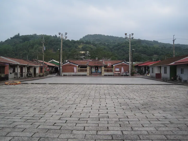
Photo adjustments
Full frame retained; proportionally resized and converted to WebP. No retouching or changes to the photographed subject. Card displays may crop the view.
- Administrative area
- District · 區
- Part of
- Tainan City
- Chinese name
- 楠西區
- Local areas
- District guide
Area & population
- Area in the source
- 110.00 km²
Source: cited geographic source, as of the dates shown.
Meiling’s paths
Plum planting began during Japanese rule. Today several trails cross the growing area, including the relatively gentle Meifeng Old Trail (梅峰古道) and Wulong Trail (伍龍步道). Views extend towards Zengwen Reservoir (曾文水庫) and the Jianan Plain (嘉南平原). The Meifeng route also has cherry trees and other flowering plants, while fireflies appear along Wulong in April and May.
Guidan’s spring water
Guidan Hot Springs (龜丹溫泉) originated as bathing places in a streambed within a valley. The clear, odourless, mildly alkaline water feeds facilities that include foot-soaking pools, private pools and bath rooms. Paths and seating areas offer places to rest beside the pools.
Sources for this guide
梅嶺風景區-台南旅遊網 · Tourism Bureau of Tainan City Government
龜丹溫泉體驗池-台南旅遊網 · Tourism Bureau of Tainan City Government
Original English written from the listed sources and checked sentence by sentence against quoted extracts by a separate reviewer. Updated 2026-09-27.
Explore Nansi District
Core places to explore, with English and Chinese names.
Nansi District 楠西區
Plan your visit
Getting there
Nansi District is about 35 km in a straight line from central Tainan City. Search for 楠西區 in a map app to find stations and your accommodation.
Where to stay →More in Tainan City
Sources & geographic information
Administrative names and parent areas: Official geographic directory · Reference date 2026-09-06.
Map data © OpenStreetMap contributors. Pins mark approximate centres, not entrances or boundaries.