


Get to know Yujing District
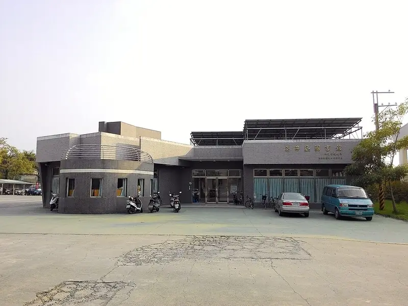
Photo adjustments
Full frame retained; EXIF orientation normalized, proportionally resized to at most 800 pixels and converted to WebP. No generated pixels or subject changes. Cards may crop the display.
- Administrative area
- District · 區
- Part of
- Tainan City
- Chinese name
- 玉井區
- Local areas
- District guide
Area & population
- Area in the source
- 76.00 km²
Source: cited geographic source, as of the dates shown.
Tapani Cultural Park
In 2015, Tainan’s Cultural Affairs Bureau converted the Yujing Sugar Factory (玉井糖廠) guesthouse and other timber buildings into Tapani Cultural Park (噍吧哖文化園區). Exhibits include old photographs and weapons associated with the uprising. Bars installed beneath the beams of the Japanese-style buildings evoke the imprisonment of those involved. The former welfare shop beside the park now contains local-product shops and a visitor information centre.
Hutou Mountain
Hutou Mountain stands 239 metres high in Zhuwei Village (竹圍里), its name referring to a tiger-head shape. Cafés on the summit offer different views across Yujing. A memorial to uprising leader Yu Qingfang (余清芳) stands on the mountain.
Sources for this guide
噍吧哖文化園區-台南旅遊網 · Tourism Bureau of Tainan City Government
玉井虎頭山-台南旅遊網 · Tourism Bureau of Tainan City Government
Original English written from the listed sources and checked sentence by sentence against quoted extracts by a separate reviewer. Updated 2026-09-27.
Explore Yujing District
Core places to explore, with English and Chinese names.
Yujing District 玉井區
Plan your visit
Getting there
Yujing District is about 30 km in a straight line from central Tainan City. Search for 玉井區 in a map app to find stations and your accommodation.
Where to stay →More in Tainan City
Sources & geographic information
Administrative names and parent areas: Official geographic directory · Reference date 2026-09-06.
Map data © OpenStreetMap contributors. Pins mark approximate centres, not entrances or boundaries.