


Get to know Yarkant County
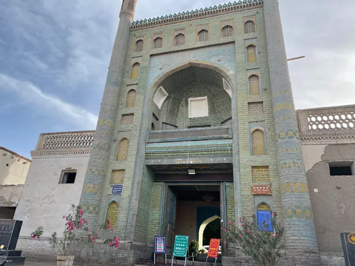
Photo adjustments
Full frame retained; proportionally resized and converted to WebP. No retouching or changes to the photographed subject. Card displays may crop the view.
- Administrative area
- County · 县
- Part of
- Kashgar Prefecture
- Chinese name
- 莎车县
- Local areas
- County guide
Area & population
- Area in the source
- 8,969.00 km²
- Population · 2020
- 860,800
- Administrative seat
- Yakan
Source: cited geographic source, as of the dates shown.
River plain and orchards
The county slopes down from west to east. Along its southeastern boundary, the Yarkand River separates it from Poskam (泽普县) and Kargilik counties (叶城县). Its crops include almonds, roses, melons, pomegranates, grapes and apricots.
The structure of Twelve Muqam
Twelve Muqam (十二木卡姆) joins music, narrative and dance. Each muqam has three sections: Chong Naghma (大乃额曼), Dastan (达斯坦) and Meshrep (麦西热甫). Twelve Muqam entered the national intangible cultural heritage list in May 2006.
Courtyard recreation
In July 2026, Shache Zero Distance documented rural tourism in Kuoshi’airike Township (阔什艾日克乡). Its account described a farm restaurant with a tree-shaded courtyard, a swimming pool and local food, used by visitors from the county seat and surrounding townships.
Sources for this guide
莎车概况 - 莎车概况 - 莎车县人民政府 · Yarkant County Government
乡村振兴丨农旅融合兴乡村 群众家门口吃上“旅游饭” - 乡村振兴 - 莎车县人民政府 · Shache Zero Distance, via Yarkant County Government
Original English written from the listed sources and checked sentence by sentence against quoted extracts by a separate reviewer. Updated 2026-09-27.
Explore Yarkant County
Core places to explore, with English and Chinese names.
Places to explore around Yarkant County
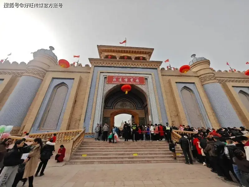 Yarkant Khanate Royal Tombs · 叶尔羌汗国王陵
Yarkant Khanate Royal Tombs叶尔羌汗国王陵
The Yarkant Khanate royal tombs (叶尔羌汗国王陵), also called Alatunluke mazar (阿勒屯鲁克麻扎) and Shache Royal Tombs (莎车王陵), are the burial ground of the Yarkant Khanate's ruling family, lying between the old and new towns of Shache county town (莎车县) in Kashgar Prefecture (喀什地区), Xinjiang.
Read the place guide →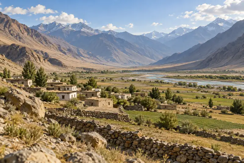 AI illustration · AI 示意图(仅供参考,非该地点实拍)
Yarkant Old Town莎车老城
The Shache Old Town Scenic Area (莎车老城景区) is a national 4A tourist attraction in Shache County (莎车县), Kashgar Prefecture (喀什地区), Xinjiang, formed around the county town's historic streets and dwellings.
Read the place guide →Plan your visit
Getting there
Yarkant County is about 160 km in a straight line from central Kashgar Prefecture. Search for 莎车县 in a map app to find stations and your accommodation.
Where to stay →Build your route
Yarkant Khanate Royal Tombs and Yarkant Old Town are both listed here. The linked place guides have entrance and visit details.
Continue with Kashgar Prefecture →More in Kashgar Prefecture
Sources & geographic information
Administrative names and parent areas: Official geographic directory · Reference date 2026-09-06.
Photo: Yarkant Khanate Royal Tombs · Source photographer · License not provided. EXIF orientation normalized; resized without changing aspect ratio; converted to WebP. No subject edits.
Map data © OpenStreetMap contributors. Pins mark approximate centres, not entrances or boundaries.