


Get to know Kargilik County
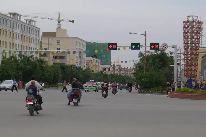
Photo adjustments
Full frame retained; proportionally resized and converted to WebP. No retouching or changes to the photographed subject. Card displays may crop the view.
- Administrative area
- County · 县
- Part of
- Kashgar Prefecture
- Chinese name
- 叶城县
- Local areas
- County guide
Area & population
- Area in the source
- 28,558.89 km²
- Population · 2020
- 525,436
- Administrative seat
- Kargilik
Source: cited geographic source, as of the dates shown.
Willows, grassland and springs
Zonglang Lingquan occupies natural wetland grassland within a landscape combining Gobi terrain, dunes, lakes, mountains, rivers and woodland. Old willows provide shade above grass and flowering malan plants (马兰花). Springs are a central feature. A May 2020 account by Shanghai’s Xinjiang assistance programme recorded a handicraft display at the visitor centre, including Qiaoluke boots (乔鲁克靴).
A staged Silk Road townscape
At Xishiya Micheng (锡湜亚迷城), shops, taverns and inns form a scenic townscape. Watchtowers stand on its walls and the complex has a dry moat. The same 2020 account described costumed staff giving song-and-dance performances. The county’s agricultural products include walnuts and pomegranates.
Sources for this guide
叶城县人民政府 · Kargilik County Government Office
“五一”小长假叶城迎来旅游“热” · Shanghai Xinjiang Assistance Programme, via People’s Daily Online
Original English written from the listed sources and checked sentence by sentence against quoted extracts by a separate reviewer. Updated 2026-09-27.
Explore Kargilik County
Core places to explore, with English and Chinese names.
Kargilik County 叶城县
Plan your visit
Getting there
Kargilik County is about 215 km in a straight line from central Kashgar Prefecture. Search for 叶城县 in a map app to find stations and your accommodation.
Where to stay →More in Kashgar Prefecture
Sources & geographic information
Administrative names and parent areas: Official geographic directory · Reference date 2026-09-06.
Map data © OpenStreetMap contributors. Pins mark approximate centres, not entrances or boundaries.