


Get to know Yingshouyingzi Mining District
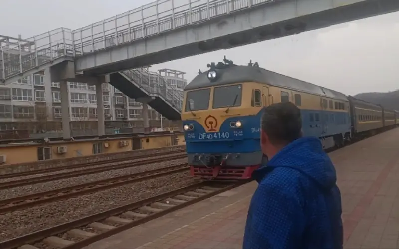
Photo adjustments
EXIF orientation normalized; resized without changing aspect ratio; converted to WebP. No subject edits.
- Administrative area
- District · 市辖区
- Part of
- Chengde
- Chinese name
- 鹰手营子矿区
- Local areas
- District guide
Area & population
- Area in the source
- 150.60 km²
- Population · 2020 census
- 54,730
Source: cited geographic source, as of the dates shown.
History
The name means "camp of the hawk-handlers". Late in the Kangxi reign, a site called Menhulu (闷葫芦场) inside the restricted zone of the Eastern Qing Tombs (清东陵) was chosen as an imperial falcon-training ground. Four hawk-handlers, soldiers who trained hawks for hunting, settled there, and their camp (营子, yingzi) gave the place its name.
The area belonged to Xinglong County after that county was founded in 1930. A mining district under Chengde was first set up in 1957, returned to Xinglong in 1958 and passed back to Chengde in 1965; the present district government dates from 1981. Coal from Yingshouyingzi and copper from Shouwangfen were among the reasons given when it was decided in 1953 to reroute the Beijing–Chengde railway through the area; the line opened in 1960.
Copper working here is old: the Shouwangfen copper-smelting site (寿王坟铜冶遗址), in the Shouwangfen mining area of Chengde, is dated to the Han dynasty and has been a provincial protected site since 23 July 1982. Shouwangfen (寿王坟镇) is one of the district's four towns.
Setting and landscape
Along the Liu River (柳河) the land is high on all sides and low in the middle, forming a mountain valley made up of the Liu valley, the centre of the Xinglong coalfield and the river plain east of Shouwangfen. The Liu, a first-order tributary of the Luan (滦河), is the district's only main river and runs 12.5 km within it. The Laoniu (老牛河), Wangjiazhuang (汪家庄河) and other seasonal streams feed into it. Spring is windy and dry, summer brings most of the rain, and winter is cold, windy and dry with little snow.
Getting oriented
The Beijing–Chengde railway crosses the district between Xinglong County and Chengde County, with stations at Beimajuanzi (北马圈子) and Yingshouyingzi; a branch line from Xiataizi (下台子) station serves the Shouwangfen copper mine.
Highlights
- Shouwangfen copper-smelting site 寿王坟铜冶遗址: Han-dynasty copper-smelting site, provincial protected site since 1982.
Sources for this guide
鹰手营子矿区 - 维基百科,自由的百科全书 · Wikipedia · CC BY-SA 4.0
寿王坟铜冶遗址 - 维基百科,自由的百科全书 · Wikipedia · CC BY-SA 4.0
京承铁路 - 维基百科,自由的百科全书 · Wikipedia · CC BY-SA 4.0
Original English written from the listed sources and checked sentence by sentence against quoted extracts by a separate reviewer. Updated 2026-09-24.
Explore Yingshouyingzi Mining District
Core places to explore, with English and Chinese names.
Yingshouyingzi Mining District 鹰手营子矿区
Plan your visit
Getting there
Yingshouyingzi Mining District is about 50 km in a straight line from central Chengde. Search for 鹰手营子矿区 in a map app to find stations and your accommodation.
Where to stay →More in Chengde
Sources & geographic information
Administrative names and parent areas: Official geographic directory · Reference date 2026-09-06.
Some facts checked against 鹰手营子矿区 — Wikipedia contributors, CC BY-SA 4.0.
Some facts checked against 寿王坟铜冶遗址 — Wikipedia contributors, CC BY-SA 4.0.
Some facts checked against 京承铁路 — Wikipedia contributors, CC BY-SA 4.0.
Map data © OpenStreetMap contributors. Pins mark approximate centres, not entrances or boundaries.