


Get to know Fuyun County
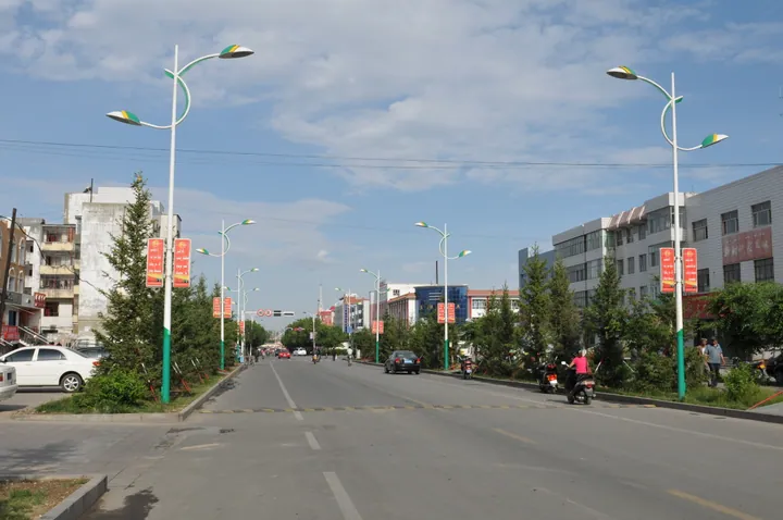
Photo adjustments
Full frame retained; proportionally resized and converted to WebP. No retouching or changes to the photographed subject. Card displays may crop the view.
- Administrative area
- County · 县
- Part of
- Altay Prefecture
- Chinese name
- 富蕴县
- Local areas
- County guide
Area & population
- Area in the source
- 32,237.00 km²
- Population · 2020
- 99,748
- Administrative seat
- Ku Ertix
Source: cited geographic source, as of the dates shown.
Grooves and honeycombed surfaces
The granite surfaces carry dense small hollows and vertical grooves resembling frozen waterfalls. Runoff erosion and repeated freezing and thawing in water-bearing surface pores helped create these textures. The combination of smooth, rounded outlines and steep rock faces is especially clear at Shenzhong Mountain (神钟山), beside the Amirsana Bridge (阿米尔萨纳桥) in the river gorge. Birch, pine and Siberian spruce grow on its rock.
A bell and an elephant
Shenxiang Peak (神象峰) resembles an elephant’s head, with its trunk pointing southwest. Xiaozhong Mountain (小钟山), about 200 metres high, has two sets of joints that give it the appearance of an ingot or a bell. Lines of hollows run across the middle of this smaller mountain.
Sources for this guide
阿勒泰地区富蕴县可可托海侵入岩地貌_地质遗迹_新疆维吾尔自治区自然资源厅 · Xinjiang Department of Natural Resources
Original English written from the listed sources and checked sentence by sentence against quoted extracts by a separate reviewer. Updated 2026-09-27.
Explore Fuyun County
Core places to explore, with English and Chinese names.
Places to explore around Fuyun County
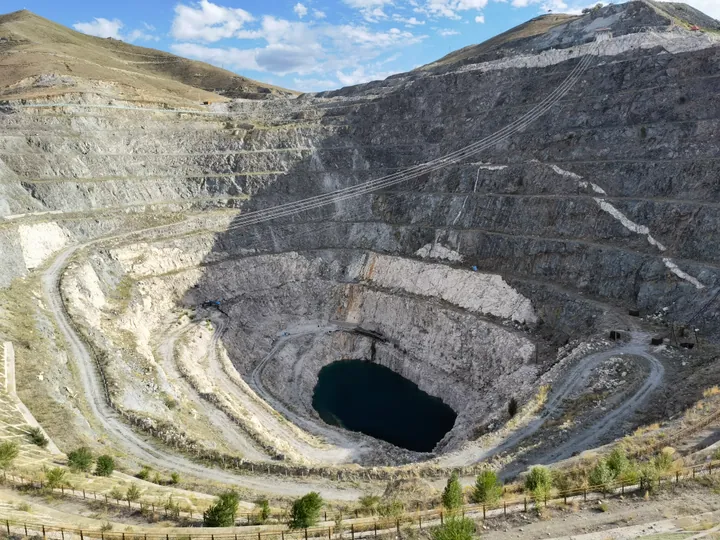 The No. 3 open-pit pegmatite mine at the Koktokay mining park, Fuyun County · 富蕴县可可托海三号矿坑 Source-recorded photograph date: 2021-06-23 19:19:02.
Koktokay可可托海
Koktokay combines two distinct visitor experiences: the granite peaks and river scenery of the Irtysh gorge, and the mining history of the former rare-metal settlement. Shenzhong Mountain is a recognisable natural landmark…
Read the place guide →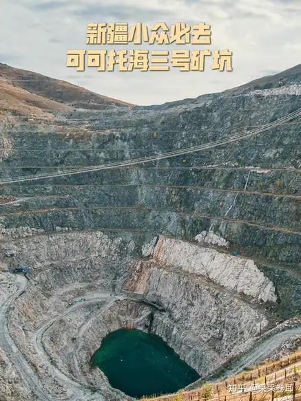 Keketuohai No. 3 Mine Pit and Geology Exhibition · 可可托海三号矿坑与地质陈列
Keketuohai No. 3 Mine Pit and Geology Exhibition可可托海三号矿坑与地质陈列
The Keketuohai No. 3 Mine Pit and its geological exhibition hall (可可托海三号矿坑与地质陈列) are in Keketuohai town, Fuyun County, Altay Prefecture, Xinjiang.
Read the place guide →Plan your visit
Getting there
Fuyun County is about 135 km in a straight line from central Altay Prefecture. Search for 富蕴县 in a map app to find stations and your accommodation.
Where to stay →Build your route
Koktokay and Keketuohai No. 3 Mine Pit and Geology Exhibition are both listed here. The linked place guides have entrance and visit details.
Continue with Altay Prefecture →More in Altay Prefecture
Sources & geographic information
Administrative names and parent areas: Official geographic directory · Reference date 2026-09-06.
Photo: Koktokay · Yanxutong1215 · CC BY-SA 4.0. Full frame retained; proportionally resized and converted to WebP. No retouching or changes to the photographed subject. Card displays may crop the view.

Photo: Keketuohai No. 3 Mine Pit and Geology Exhibition · Source photographer · License not provided. EXIF orientation normalized; resized without changing aspect ratio; converted to WebP. No subject edits.
Map data © OpenStreetMap contributors. Pins mark approximate centres, not entrances or boundaries.